

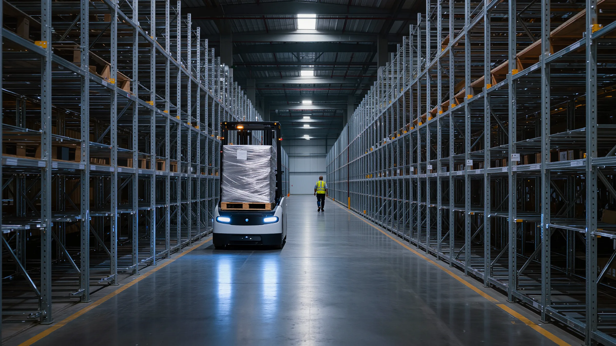
3D LiDAR for AGVs, AMRs and Forklifts
Make your AGV/AMR/Forklift operations safer with high-performance 3D LiDAR. Quanergy LiDAR gives autonomous vehicles collision avoidance, pallet detection and natural feature navigation from one low-noise point cloud.
Autonomous vehicles need to see what is in the way
AGVs, AMRs and forklifts share aisles with people, pallets left on the floor, racking and dock edges. Low-reflectivity objects and clutter are where simple sensors fall short.
Collision Avoidance Detection. Quanergy 3D LiDAR is well suited to collision avoidance detection. With its high performance and low noise point cloud, the detection of obstacles becomes easy, including objects with low reflectivity. A wide field of view gives excellent coverage with a single sensor.
AGV Natural Feature Navigation. Quanergy LiDAR provides high measurement accuracy, a wide field of view and long sensing range. In addition, Quanergy LiDAR sensors deliver reliable performance even in harsh industrial environments independent of lighting conditions. All of this enables advanced natural feature navigation for various autonomous applications, like AGV forklifts or tuggers.
Six ways 3D LiDAR works for autonomous vehicles
One sensing layer for collision avoidance, load handling and navigation, indoors and outdoors.
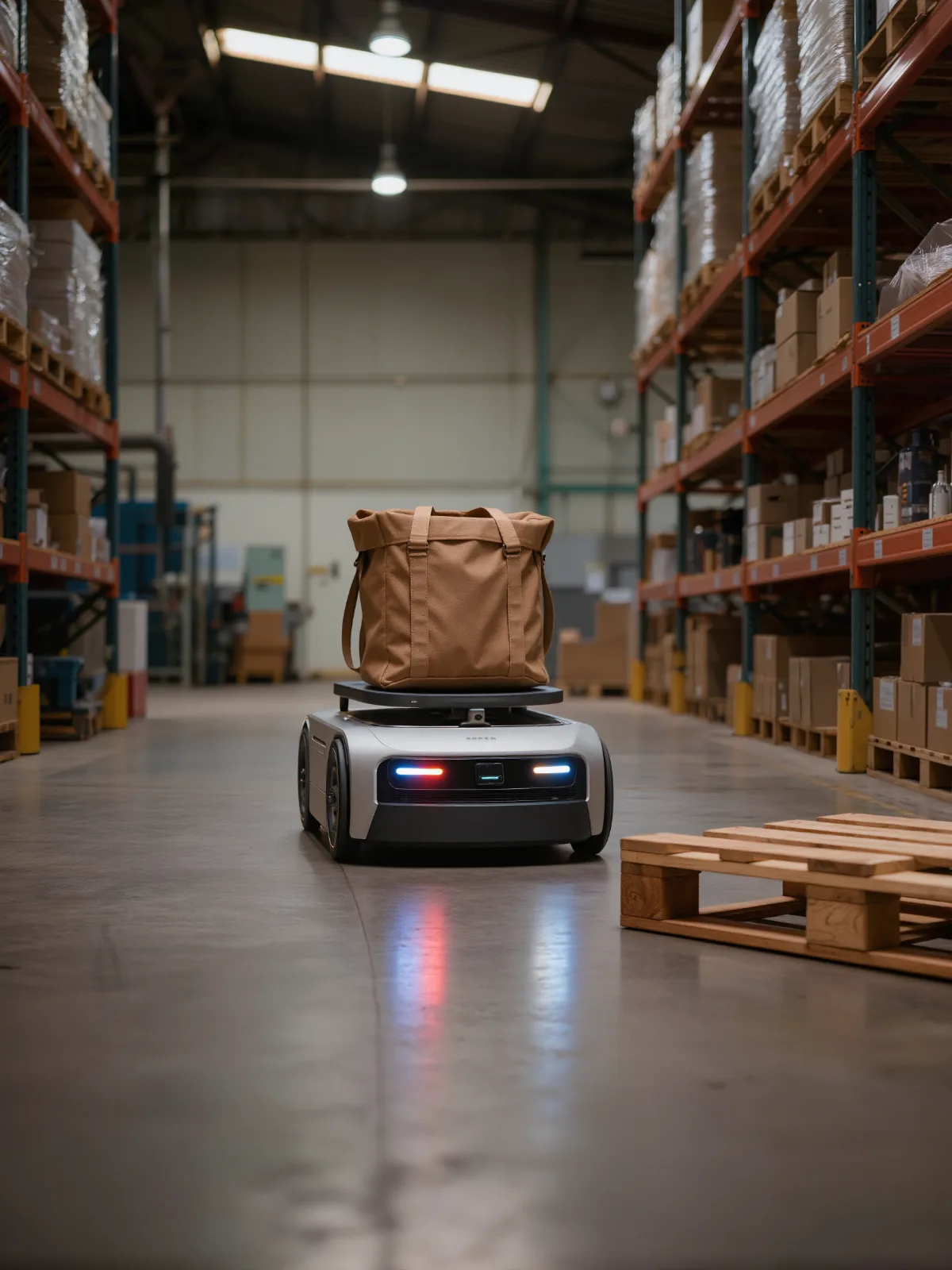
Stop for what is in the aisle
A dense, low-noise 3D point cloud picks out obstacles, including low-reflectivity objects, so the vehicle slows or stops in time.
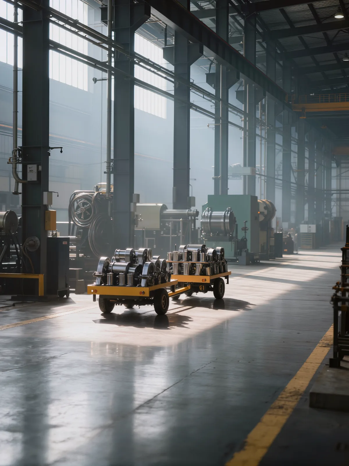
Navigate by the building, not by tape
LiDAR uses walls, columns and racking as references, so vehicles navigate without reflectors or floor markers.
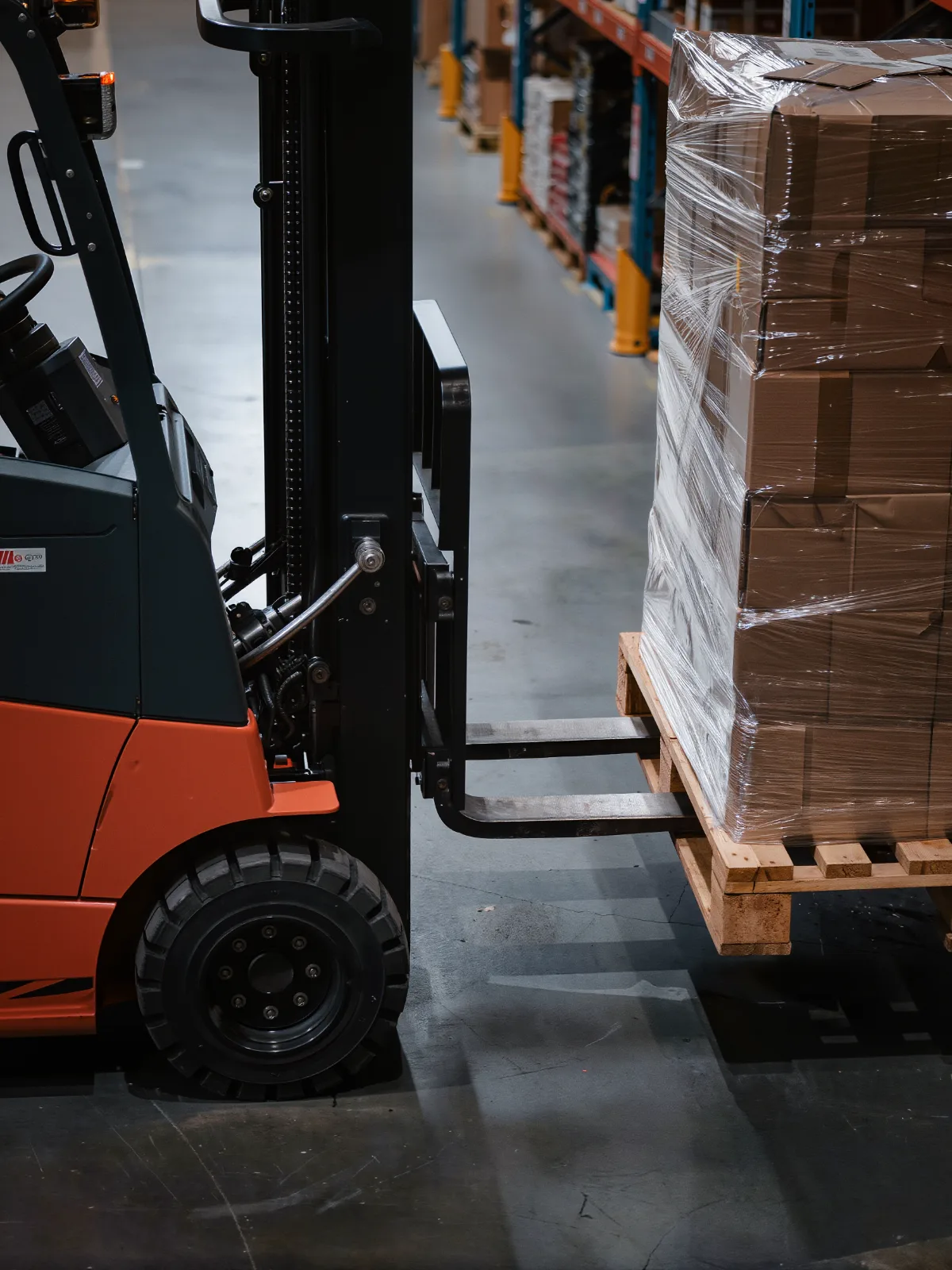
Find the pallet pockets
3D LiDAR detects pallet pockets, shelves, tables and doorways, so automated forklifts line up with the load.
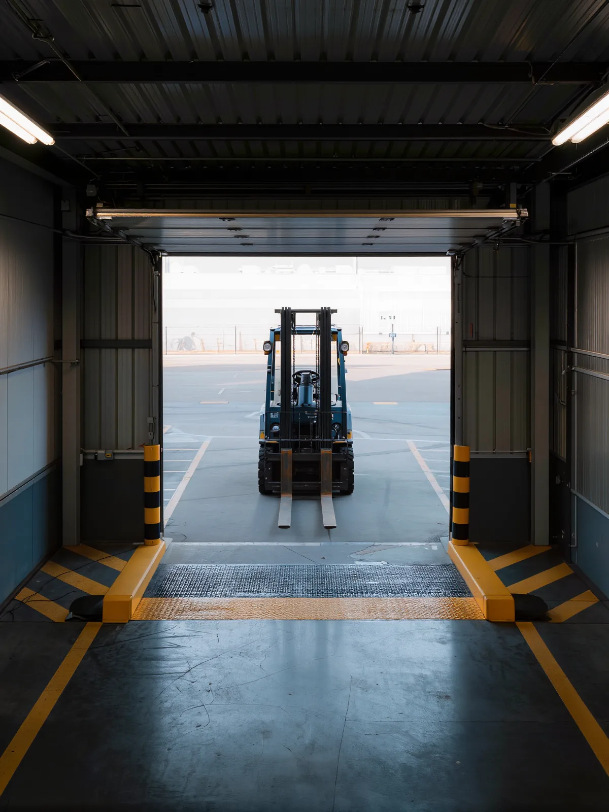
Know where the floor ends
Detect dock edges, drop-offs and infrastructure around the vehicle path before the vehicle gets there.
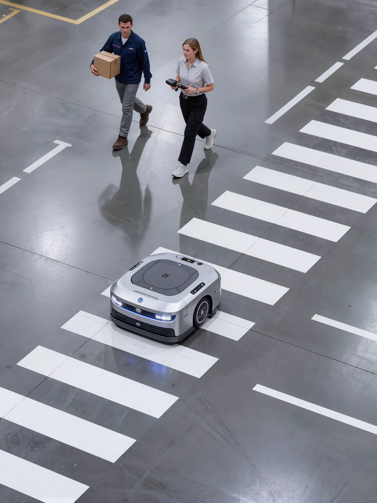
Work around people
Situational awareness lets AMRs navigate around people and bypass obstacles on a busy fulfillment floor.
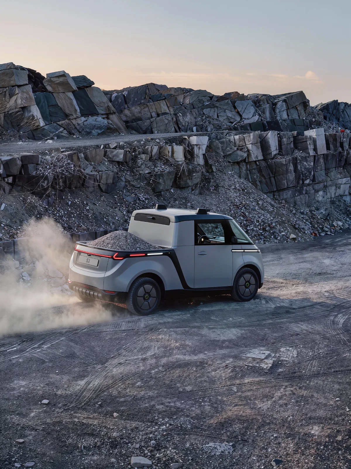
Take it outdoors
A rugged, solid-state design and outdoor performance carry the same tasks to agriculture, quarry and mining vehicles.
Sense. Process. Decide. Act.
Quanergy LiDAR builds a live 3D picture around the vehicle and processes it at the edge, so the vehicle controller gets answers, not raw data.
- 1
Sense
3D LiDAR captures a dense point cloud around the vehicle, many times per second.
- 2
Process
Edge processing turns the point cloud into obstacles, features and zones without additional programming.
- 3
Decide
Detection zones change as the vehicle moves, matched to speed and direction.
- 4
Act
Digital outputs or an Ethernet API tell the vehicle controller to slow, stop or reroute.
Built for robotics teams
Our engineers work with yours to connect LiDAR output to your vehicle controller and fleet software.
- Collision avoidance
- Pallet pocket detection
- Natural feature navigation
- Dock edge detection
- People-aware AMRs
- Dynamic detection zones
- Indoor and outdoor
- Edge processing
- Controller integration
Tracking forklifts and workers on a live warehouse floor
Vecna Robotics selects Quanergy LiDAR
Vecna Robotics selected Quanergy LiDAR for autonomous material handling, so its collaborative mobile robots can move safely and efficiently through busy warehouses.
- 3D perception to detect, classify and track objects
- Robots work near people while keeping safe distances
- No reliance on fixed infrastructure
Measuring parcels, pallets and fill levels? See 3D LiDAR for material handling and warehouses.
3D LiDAR for AGVs, AMRs and forklifts: common questions
How is 3D LiDAR used on AGVs, AMRs and forklifts?
Quanergy LiDAR gives autonomous vehicles collision avoidance, pallet pocket detection, cliff and dock edge detection, and natural feature navigation, in warehouses, factories and outdoor sites.
Do I need 2D or 3D LiDAR?
3D LiDAR suits collision avoidance and pallet detection. 2D LiDAR suits natural feature navigation and detection zones. Many vehicles use both, and our team will help you choose.
Does it see dark, low-reflectivity objects?
Yes. A low-noise 3D point cloud picks out low-reflectivity objects that simple sensors miss.
Can it detect pallet pockets?
Yes. Quanergy 3D LiDAR detects features such as pallet pockets, shelves, tables and doorways, so automated forklifts can line up with the load.
Does it work outdoors and in low light?
Yes. LiDAR provides its own illumination, so it works independent of lighting conditions, indoors and outdoors, including agriculture and quarry vehicles.
How does it integrate with our vehicle software?
Quanergy LiDAR connects through digital outputs or an Ethernet API, and our team supports integration with your vehicle software.
Give your vehicles a clear view of the floor
Tell us about your vehicles, routes and loads. Our team will map where 3D LiDAR improves collision avoidance, navigation and throughput.