LiDAR, which stands for Light Detection and Ranging, is a time-of-flight sensing technology that uses electromagnetic radiation to measure distances. Specifically, it pulses low-power, eye-safe lasers in the near-infrared spectrum and measures the time it takes for the laser to complete a round trip between the sensor and a target. The wavelength of the laser, typically around 905 to 1550 nanometers, plays a crucial role in both the safety and precision of the measurements. This carefully selected wavelength ensures that the laser remains eye-safe while providing high accuracy in detecting and tracking objects.
When these laser pulses hit an object, they reflect back to the LiDAR sensor. By calculating the time it takes for each pulse to return, the sensor determines the distance to the object. The resulting aggregate data forms a 3D point cloud image, which provides both spatial location and depth information. This allows LiDAR systems to identify, classify, and track moving objects with a high degree of precision, making it a vital tool in various applications, from industrial robots to physical security.
**LiDAR technology operates on the fundamental principles of electromagnetism, using light to measure distances with incredible precision. At the heart of this technology is the concept of “time of flight,” which refers to the time it takes for light to travel from the LiDAR sensor, hit an object, and return to the sensor. This time measurement is crucial because LiDAR systems calculate distance based on the speed of light, a constant at approximately 299,792 kilometers per second (186,282 miles per second).
The emitted light in LiDAR systems falls within the electromagnetic spectrum, specifically in the near-infrared region. By pulsing these light waves, LiDAR technology can capture detailed information about the environment. The speed of light allows the system to perform these measurements rapidly and accurately, enabling the creation of a continuous, real-time 3D point cloud of the scanned area.
In addition to the principles of electromagnetism, LiDAR also relies on electrodynamics—the study of electric charges in motion. When LiDAR sensors emit light, they rely on these electrodynamic principles to detect the energy reflected back from objects. The sensor’s ability to measure these reflections and calculate distances is what makes LiDAR so effective in detecting and continuously tracking objects with a meshed network capability of stitching multiple sensors together in various environments.
Through this combination of electromagnetic radiation, the speed of light, and electrodynamics, Quanergy’s LiDAR technology provides robust, real-time spatial awareness, making it an essential tool for a wide range of applications.
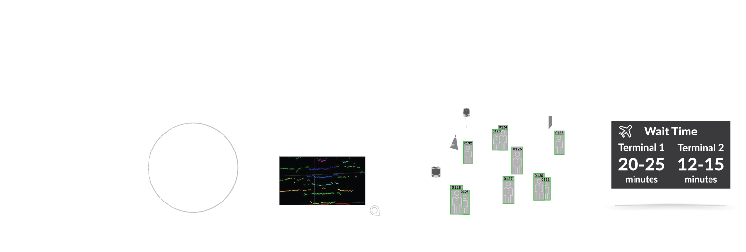
Point clouds are large data sets composed of millions of 3D points, each representing a precise location in space. These points are generated from LiDAR scans of the environment, capturing detailed information about moving objects such as vehicles and humans, as well as stationary objects like buildings, trees, and other permanent structures. The raw data from these point clouds can then be processed by software systems to create detailed 3D imagery of the scanned area.
Field of view (FoV) is defined as the angle, measured in degrees, that a sensor can cover. For LiDAR sensors, this is typically expressed in both horizontal and vertical terms, indicating the extent of the area that the sensor can scan and monitor. In the context of 3D scanning, a wide field of view is crucial for capturing a comprehensive image of the environment. This is especially important in security and smart spaces, where LiDAR’s ability to perform continuous 3D scanning allows for thorough surveillance and 3D object tracking . A broader field of view ensures that no area is left unmonitored, significantly enhancing the effectiveness of security systems. Optics play a vital role in optimizing the field of view for LiDAR sensors. High-quality optical devices are integrated into LiDAR systems to maximize the sensor's ability to detect and monitor objects across large areas. These optics ensure that the LiDAR sensor can cover expansive spaces, detect intrusions, and monitor activity in smart spaces with high precision. By fine-tuning the field of view through advanced optics, LiDAR systems can provide the necessary coverage and detail required for effective monitoring and surveillance in diverse applications. Whether it’s for security purposes or managing smart environments, the field of view in LiDAR technology is key to delivering accurate, reliable, and comprehensive 3D scanning capabilities.
LiDAR operates by detecting and measuring the return of light to the sensor’s receiver. The effectiveness of this process depends significantly on the reflectivity of the target. Some surfaces reflect light better than others, making them easier to reliably detect and measure at the sensor’s maximum range. For instance, a white surface returns a greater amount of light compared to a black surface, which absorbs more light. This difference in reflectivity means that a white target can be detected and measured more accurately at longer distances than a darker target.
Mirror-like targets pose additional challenges because they reflect light in a concentrated beam rather than dispersing it in multiple directions, as diffuse surfaces do. This concentrated reflection might not return directly to the LiDAR sensor’s receiver, making mirror-like objects more difficult to detect and measure accurately.
Retro-reflective targets, such as road signs and license plates, return a high percentage of light directly back to the LiDAR sensor. These targets are ideal for LiDAR detection, as they provide strong, reliable returns, even at longer distances. However, the real-world performance and maximum effective range of a LiDAR sensor can vary depending on the surface reflectivity of the target being scanned.
Quanergy provides high-performance 3D LiDAR sensors and smart perception software that enhance safety, efficiency, and performance while reducing costs across a wide range of markets and applications.
Our patented portfolio of Q-Track LiDAR sensors feature high resolution and a 360-degree field of view, generating rich 3D point clouds in real-time at long range. These cost-effective, high-definition LiDAR sensors are rugged and reliable, making them ideal for challenging real-world applications that require the widest field of view and the longest range.
LiDAR, radar, and camera-based systems are all used to detect and monitor moving objects, but they operate on different principles and offer varying levels of accuracy and functionality, particularly in security and smart space applications.
LiDAR |
Radar |
Video |
|
---|---|---|---|
Sensing Dimensions | 3D | 1D | 2D |
Range | |||
Field of View | |||
Object Detection – Shape / Orientation | |||
Object Detection – Static / Lateral Motion | |||
Resolution with Range | |||
Range Accuracy | |||
Rain, Snow, Smog, Dust, Sand Storm | |||
Fog | |||
Ambient Light – Pitch Darkness / Bright Sunlight | |||
Read Sign / Color | |||
Intensity / Reflectivity |
LiDAR remains the only sensor technology that offers the highest range of accuracy and the finest angular resolution, making it indispensable for various applications, particularly in security, smart spaces, and industrial automation. Its unique capabilities set it apart from other technologies like radar and cameras, ensuring its position as a critical tool in modern technology ecosystems.
LiDAR technology is widely utilized across a diverse range of industries, each benefiting from its precision, accuracy, and real-time data capabilities. Some of the key industries where LiDAR is making a significant impact include security, smart cities, smart spaces,, and autonomous guided vehicles and mobile robots.