

Transportation Security with 3D LiDAR
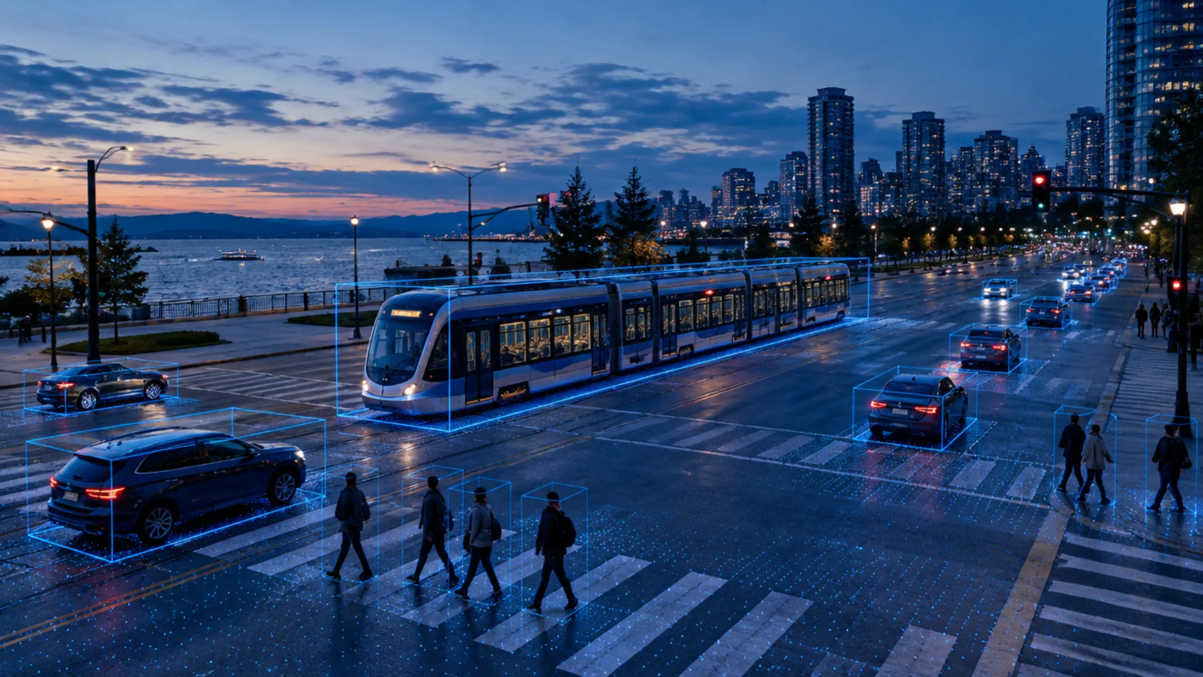
Rail corridors, intersections, tunnels, platforms and yards mix trains, vehicles, cyclists and people. Quanergy 3D LiDAR detects and tracks all of them in real time, in any light, to keep transit moving and keep people off the right-of-way.
Source: SFMTA, "A Green Light for Muni Customers", November 2021.
Transit runs where people, cars and trains share space
Light rail waits at red lights. Trespassers walk tunnel portals and track beds. Yards and depots sit behind long fences after dark. Cameras alone struggle to tell operators exactly what is where, and how fast it is moving.
3D LiDAR measures the scene itself. Every train, vehicle, cyclist and pedestrian gets a real position, speed and direction, in real time and in any light, without capturing faces or license plates.
That data can drive signal priority at intersections, trigger alerts in a tunnel or on a platform, and protect the facilities that keep the fleet running.
Six ways 3D LiDAR protects transit and rail
One perception platform from the intersection to the yard.
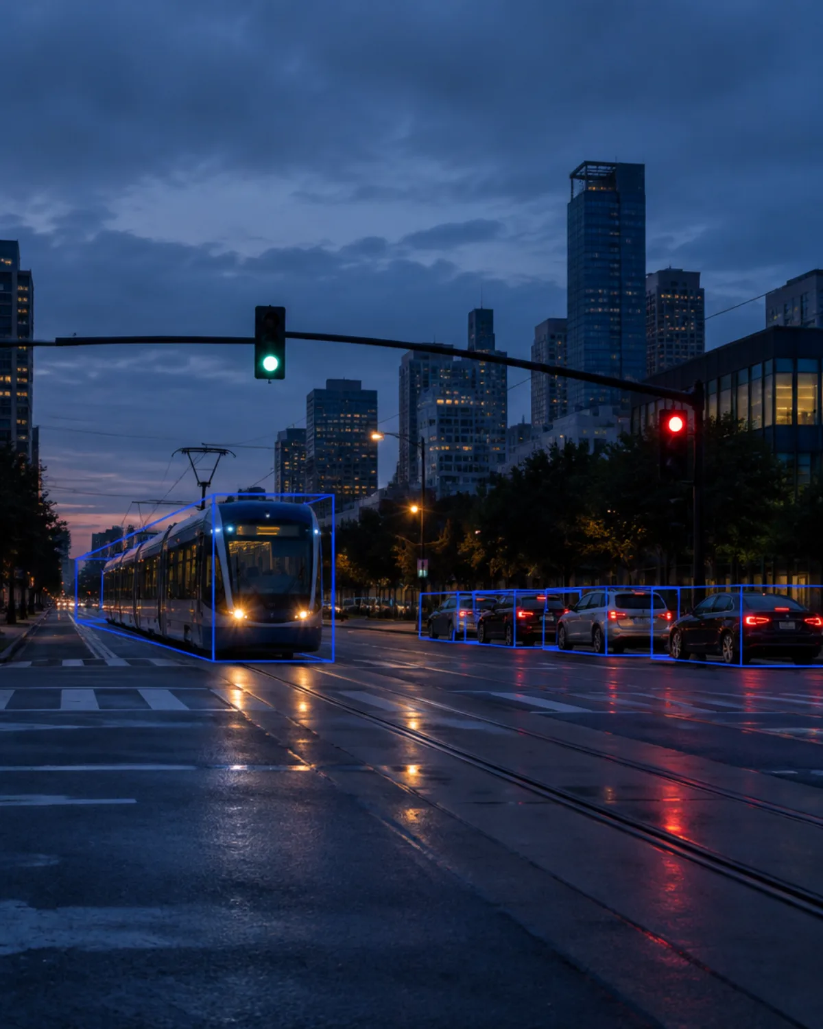
Give trains the green light
Detect and track light rail vehicles, cars, cyclists and pedestrians at every approach so signal timing can favor transit without stalling everyone else.
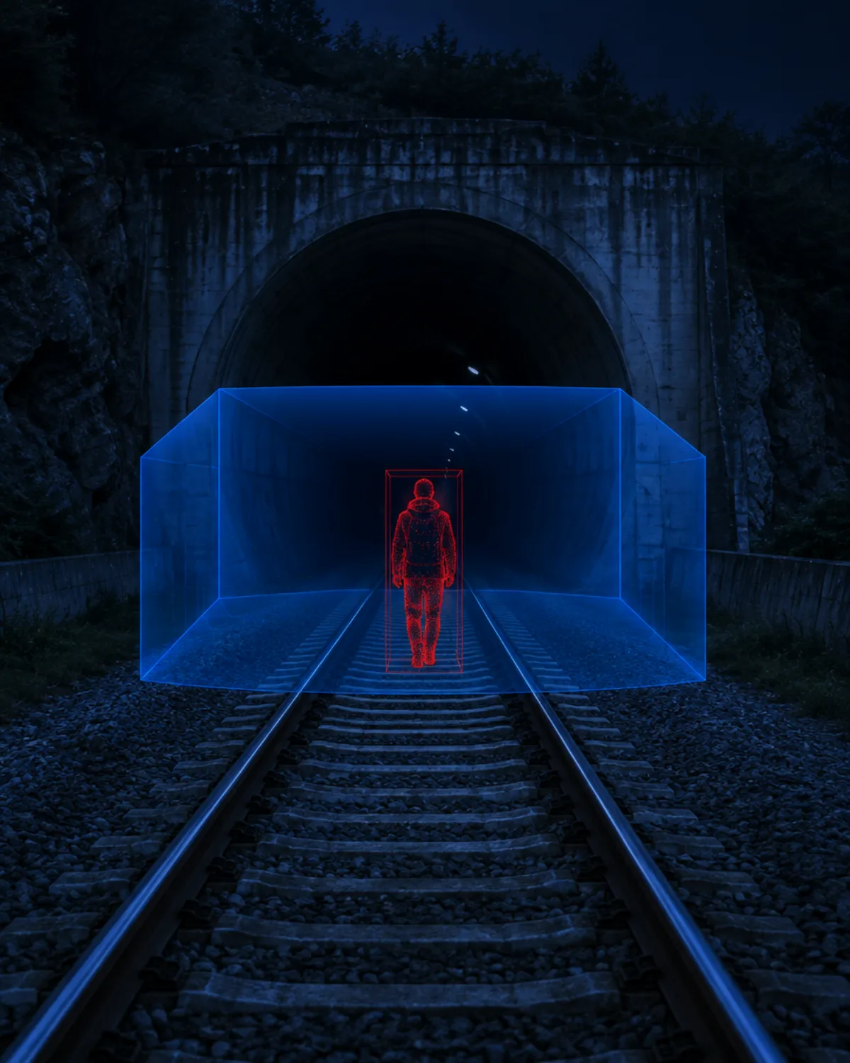
Stop trespassers at the portal
Draw 3D zones over the tracks at tunnel entrances and get real-time alerts the moment a person enters the right-of-way.
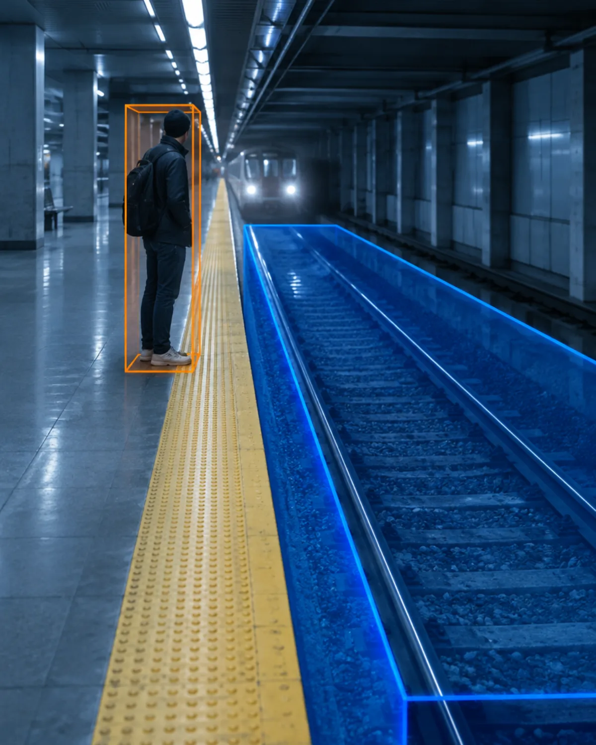
Know who is too close to the track
Monitor platform edges and track beds in 3D, in any light, and alert operators when someone steps into the danger zone.
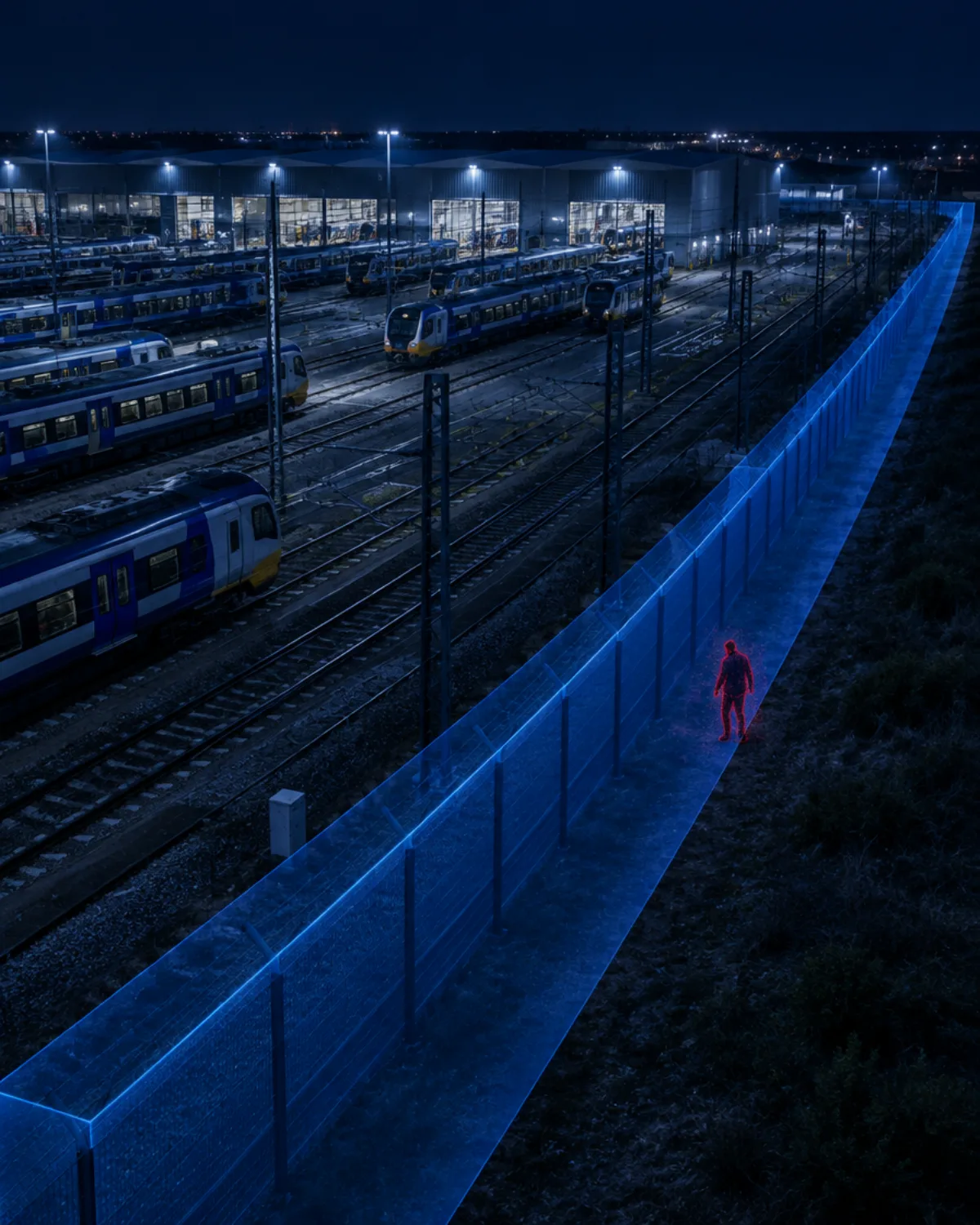
Protect the fleet after hours
Guard long yard perimeters, catenary areas and maintenance buildings against trespass, vandalism and metal theft.
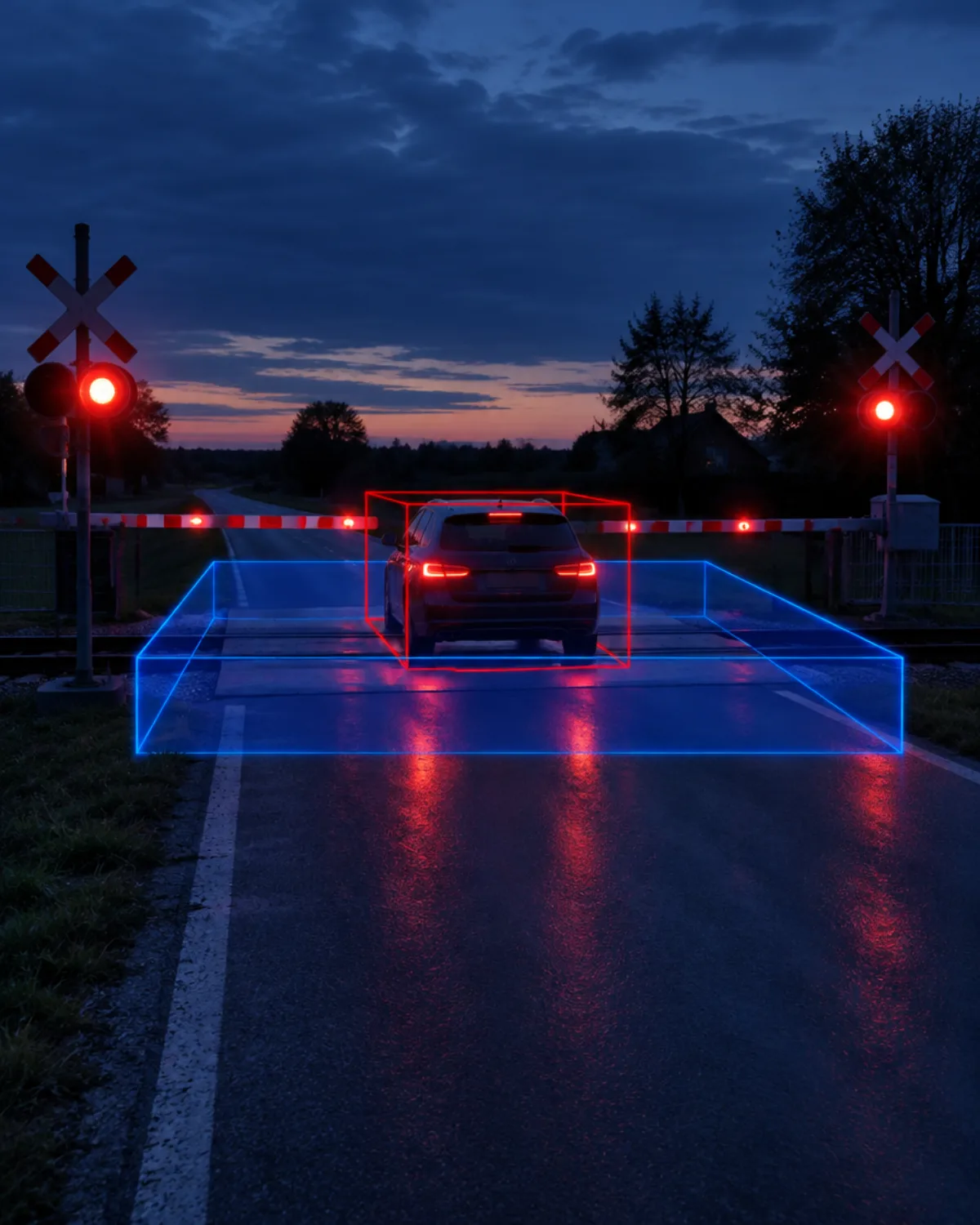
Catch the car stopped on the tracks
Track vehicles and people inside the crossing area with position, speed and direction, including a vehicle that stops where it should not.
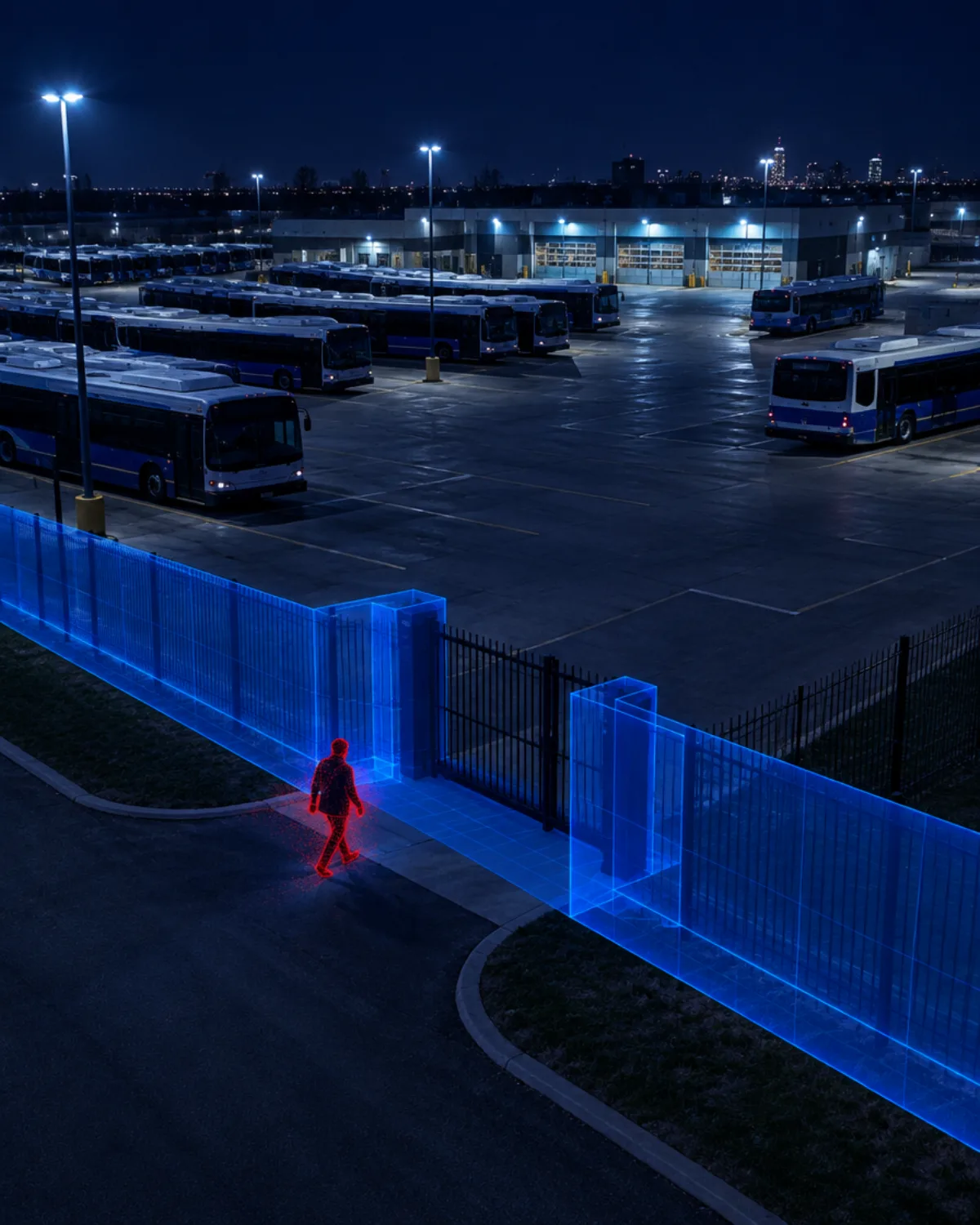
Secure the gates and the fence line
Create zones around gates, fuel islands and parking rows, and send alerts to your VMS and operations center.
Detect. Track. Classify. Alert.
Quanergy 3D LiDAR measures millions of 3D points per second. QORTEX DTC perception software detects, tracks and classifies every object, then sends alerts your existing security stack can act on.
- 1
Detect
360° 3D LiDAR covers wide areas with minimal blind spots, in any light or weather, including total darkness.
- 2
Track
QORTEX DTC follows every object with centimeter-level position, speed and direction, tracking up to 1,000 objects at once.
- 3
Classify
People and vehicles are classified by size and movement. Anything else is reported as an unclassified object, so alarms can be set on people and vehicles only.
- 4
Alert
Configurable 3D zones trigger real-time alerts and PTZ slew-to-cue, sent to your VMS and security operations center.
Fits the security stack you already run
Q-TRACK integrates with leading video management and security management platforms, so you upgrade detection without replacing your control room.
- Advancis
- Bosch/IQSIGHT BVMS
- exacqVision
- Genetec Security Center
- Hirsch Velocity
- IntelliCene / Symphia Control
- Milestone XProtect
- Motorola Avigilon Unity
- Network Optix
- Salient CompleteView
- Teledyne FLIR
Q-TRACK supports many more VMS and security platforms not listed here; confirm the integration for your platform and version during the assessment.
SFMTA Connected Corridor: faster light rail on 3rd Street
In July and August 2021, the San Francisco Municipal Transportation Agency (SFMTA) ran a proof of concept on a light rail corridor along 3rd Street in Mission Bay, with ten signalized intersections. Arcadis led the project, TNL provided the traffic optimization platform, and Quanergy supplied the 3D LiDAR sensors and QORTEX DTC perception software that detected trains, vehicles and people in real time.
“A dramatic improvement for the light rail vehicles without observed significant impacts on other modes and approaches.”Robert Lim, Project Manager, SFMTA, via TNL
Video by Arcadis: Digital Twins, Improving how people move through a large city.
Results as reported by SFMTA, November 2021. Detection accuracy from the SFMTA Connected Corridor final report, October 2025.
Read more about the project
Transportation security with 3D LiDAR: common questions
How is 3D LiDAR used in transportation?
3D LiDAR measures the space around tracks, intersections, platforms and yards in three dimensions. Perception software detects, tracks and classifies trains, vehicles, cyclists and pedestrians in real time, so agencies can optimize signals, detect trespassers on the right-of-way and protect facilities, in any light.
What did the SFMTA pilot achieve?
In a 2021 proof of concept on San Francisco's 3rd Street light rail corridor, SFMTA reported that travel time per light rail vehicle fell by 66 seconds and the chance of reaching an intersection on a green light rose from 62.1% to 85.8%. Quanergy supplied the 3D LiDAR sensors and QORTEX DTC perception software.
Can LiDAR detect people on the tracks or in a tunnel?
Yes. 3D zones can be drawn over the track bed, tunnel portals and platform edges. When a person or object enters a zone, the system sends a real-time alert with its exact position to operators and the VMS.
Does it work at night and in bad weather?
Yes. LiDAR provides its own illumination, so detection does not depend on daylight or station lighting.
Does LiDAR capture personally identifiable information?
No. LiDAR measures shape, position and movement as 3D points, not faces or license plates, which makes it well suited to public transit environments.
Does it integrate with traffic controllers and security systems?
Yes. In the SFMTA corridor, Quanergy LiDAR data fed TNL's traffic optimization platform and the signal controller. For security use cases, Q-TRACK integrates with leading VMS and security management platforms.
Keep transit moving and people off the tracks
Tell us about your corridors, tunnels, platforms or yards. Our team will map where 3D LiDAR improves flow and closes blind spots.