

3D LiDAR for Agriculture
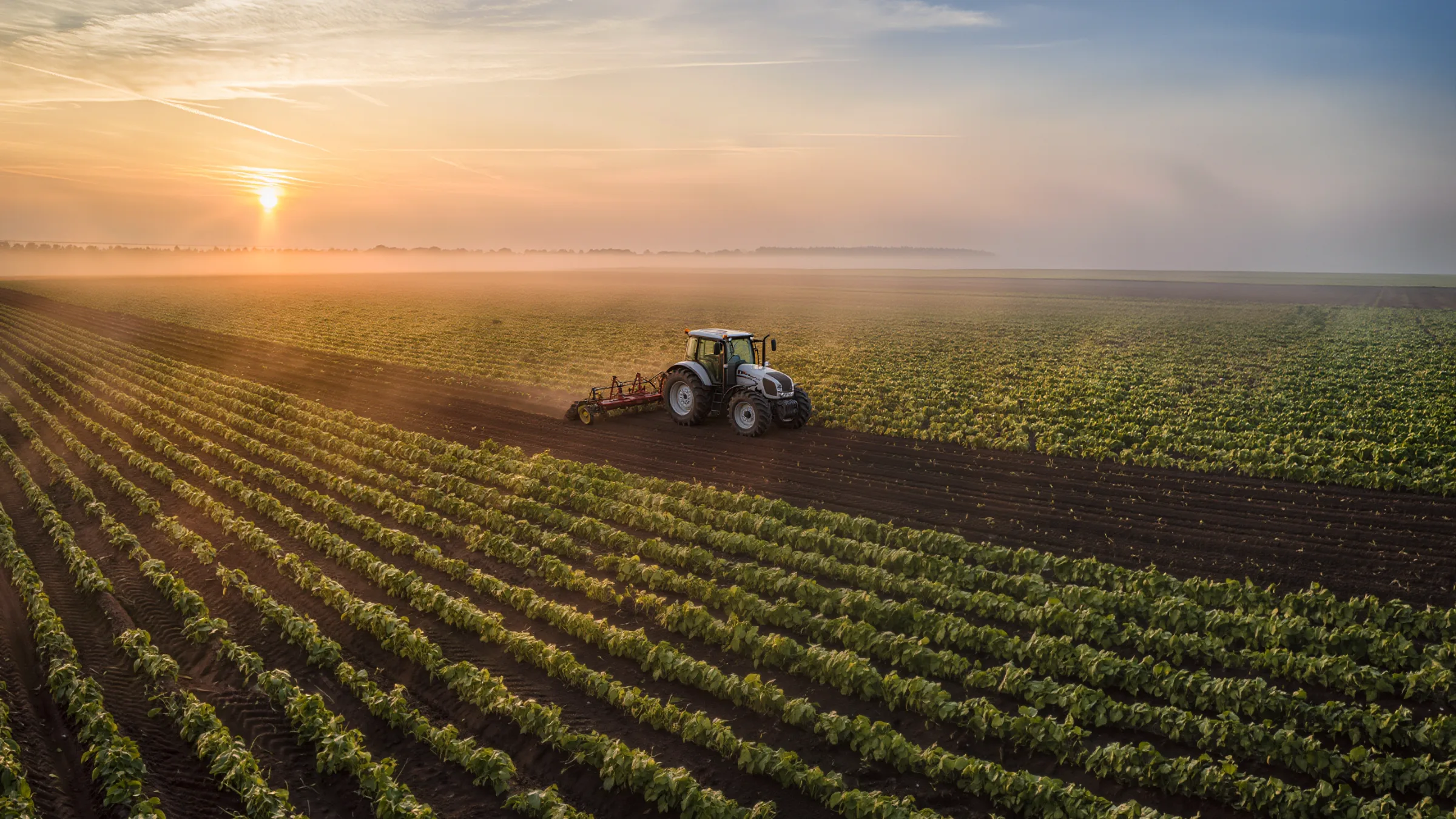
Quanergy 3D LiDAR gives tractors, harvesters and field robots a live 3D view of rows, plants, people and obstacles, in full sunlight, dust or complete darkness.
Farms need machines that see the field
Labor is short and seasons are long. Autonomous tractors and field robots have to follow rows, protect plants and stop for people, in bright sun, dust and at night.
Cameras struggle in harsh sun and darkness, and flat images cannot tell a furrow from a shadow. 3D LiDAR measures the shape of the field, so machines see rows, beds and obstacles in depth.
Quanergy LiDAR provides its own illumination and processes its point cloud at the edge, so vehicles get answers they can act on, day or night.
Six ways 3D LiDAR works in agriculture
From furrow navigation to collision avoidance, one sensing layer for autonomous farm machines.
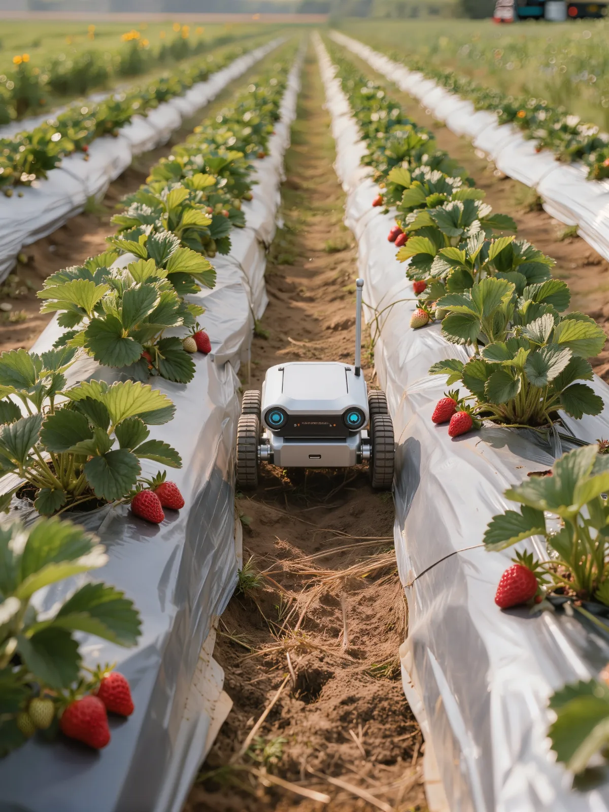
Follow the furrow, spare the plants
Enough resolution to see furrows and beds, so robots navigate without running over plants.
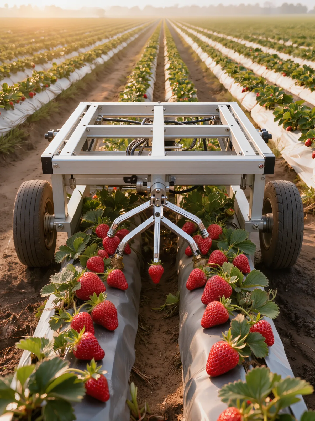
Guide picking robots row by row
A 3D view of beds and plants keeps harvesting robots on line through every row.
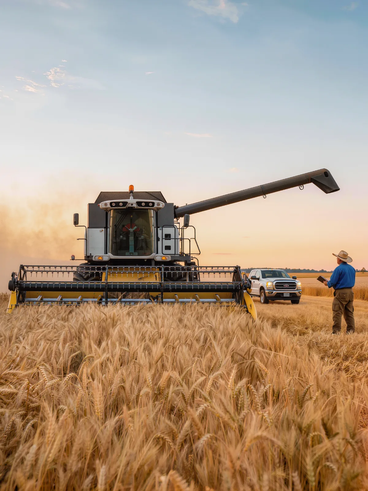
Stop for people and obstacles
Detect people, vehicles and obstacles around tractors and harvesters before contact.
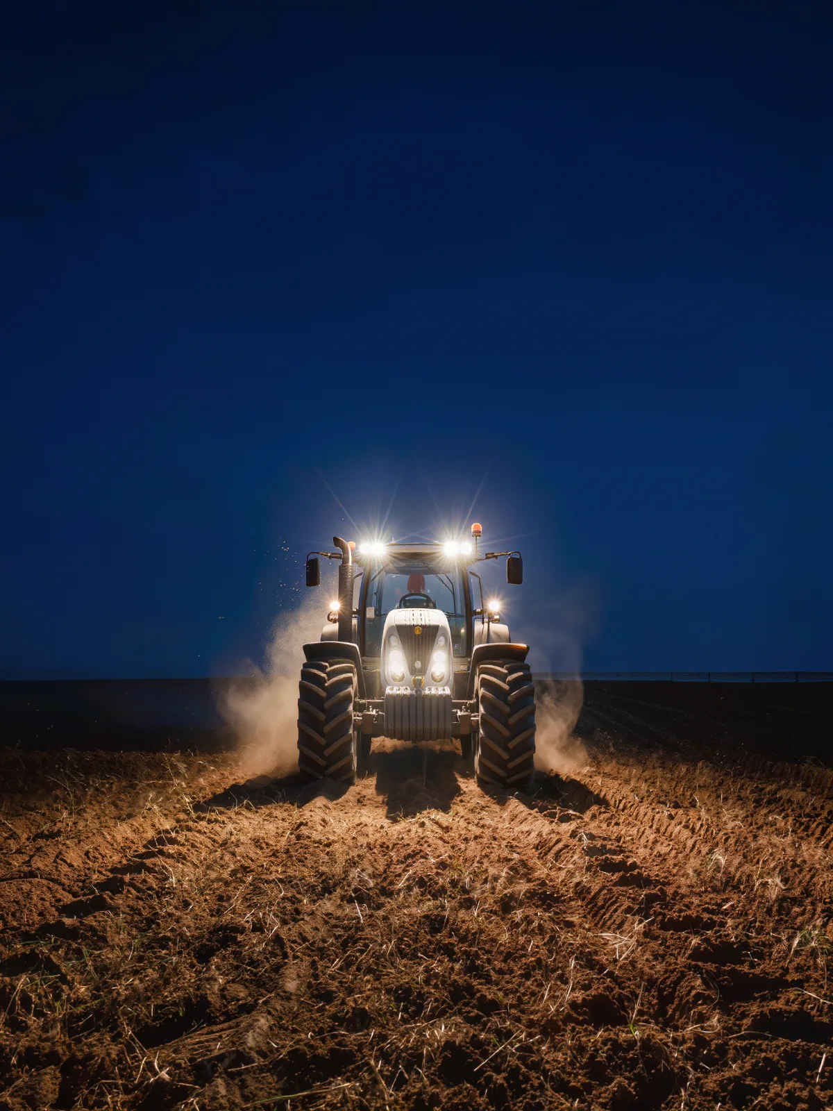
Keep working after dark
LiDAR provides its own illumination, so machines see the field in complete darkness.
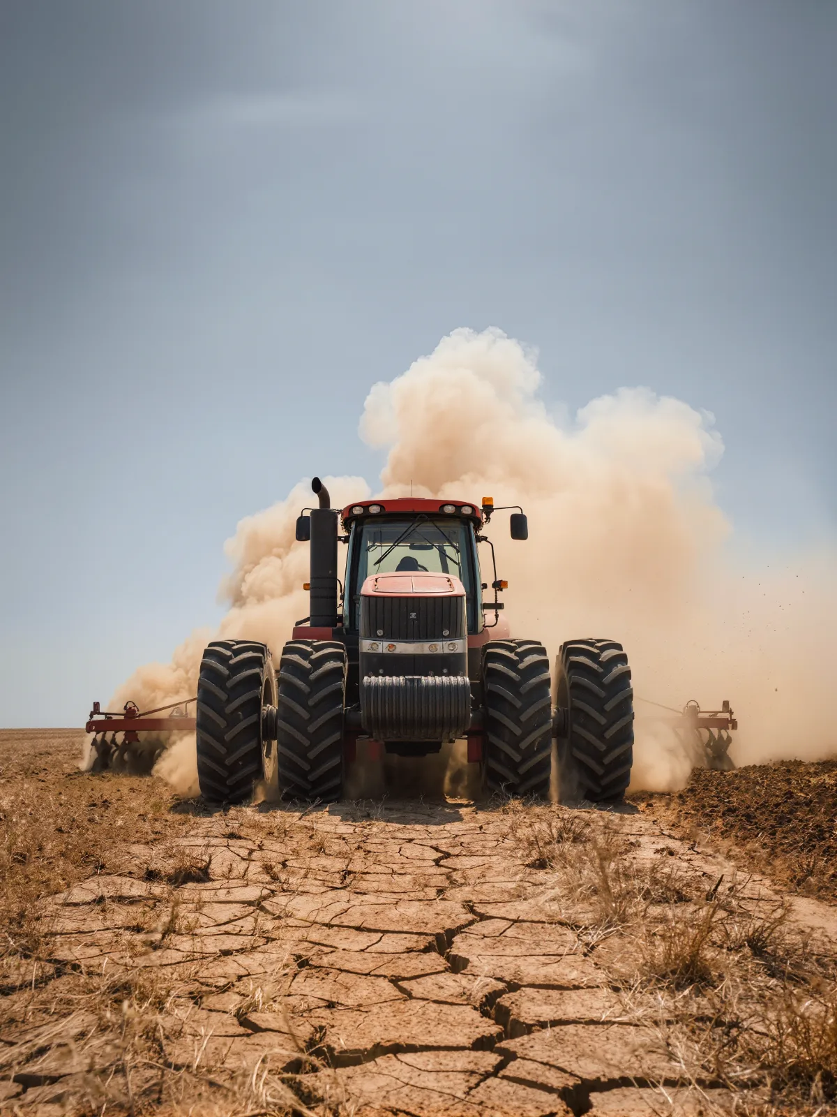
Built for sun, dust and vibration
A rugged design and outdoor performance carry autonomy through the conditions of a real farm.
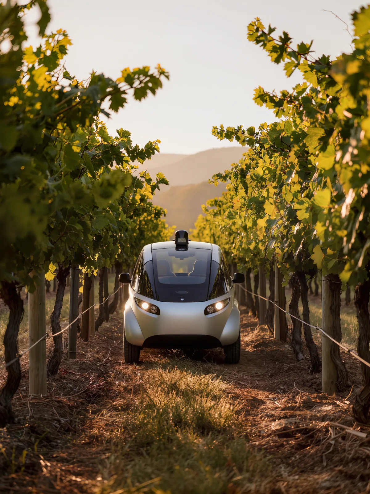
Navigate between trellis rows
Rows, posts and canopy in 3D guide utility vehicles through orchards and vineyards.
Scan. Map. Decide. Steer.
Quanergy LiDAR turns the field into live 3D data, so the vehicle knows where the row is and what is in the way.
- 1
Scan
3D LiDAR captures a dense point cloud of the ground, crops and surroundings, many times per second.
- 2
Map
Edge processing finds rows, furrows, beds and obstacles in the point cloud.
- 3
Decide
The system checks the path against people, vehicles and objects nearby.
- 4
Steer
The vehicle controller steers along the row, slows or stops.
Built with machine builders
Our engineers work with yours to connect LiDAR output to your vehicle controller and autonomy software.
- Row and furrow navigation
- Robotic picking guidance
- Collision avoidance
- People detection
- Night operation
- Dust and sun tolerance
- Orchard and vineyard rows
- Edge processing
- Controller integration
3D LiDAR guiding a strawberry-picking robot
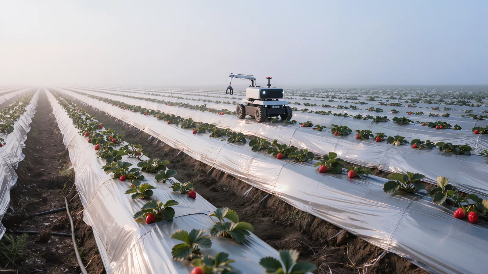
Agricultural robotics: strawberry picking
An agricultural robotics company building strawberry-picking robots chose Quanergy 3D LiDAR. It has the resolution to see the furrows of a strawberry field, so the robot navigates without running over plants.
- Furrow-level resolution for row navigation
- Works in complete darkness or full sunlight
- Chosen for day and night operation
Automating packing, sorting or processing after harvest? See 3D LiDAR for industrial automation.
3D LiDAR for agriculture: common questions
How is 3D LiDAR used in agriculture?
Quanergy 3D LiDAR guides tractors, harvesters and field robots along rows and furrows, and detects people, vehicles and obstacles for collision avoidance.
Can LiDAR see crop rows and furrows?
Yes. 3D LiDAR has the resolution to see the furrows of a field such as strawberry beds, so robots can navigate without running over plants.
Does it work at night and in bright sun?
Yes. LiDAR provides its own illumination, so it works in complete darkness or full sunlight, where cameras struggle.
Why LiDAR instead of cameras?
LiDAR measures depth directly, so it separates rows, plants and obstacles in 3D and is not fooled by shadows or glare.
Does it handle dust and vibration?
Quanergy LiDAR is built for rugged outdoor use on off-road vehicles, including agriculture and quarry machines.
How does it connect to our vehicles?
Our team supports integration with your vehicle controller and autonomy software.
Give your farm machines a 3D view of the field
Tell us about your vehicles, crops and rows. Our team will map where 3D LiDAR improves navigation and safety.