

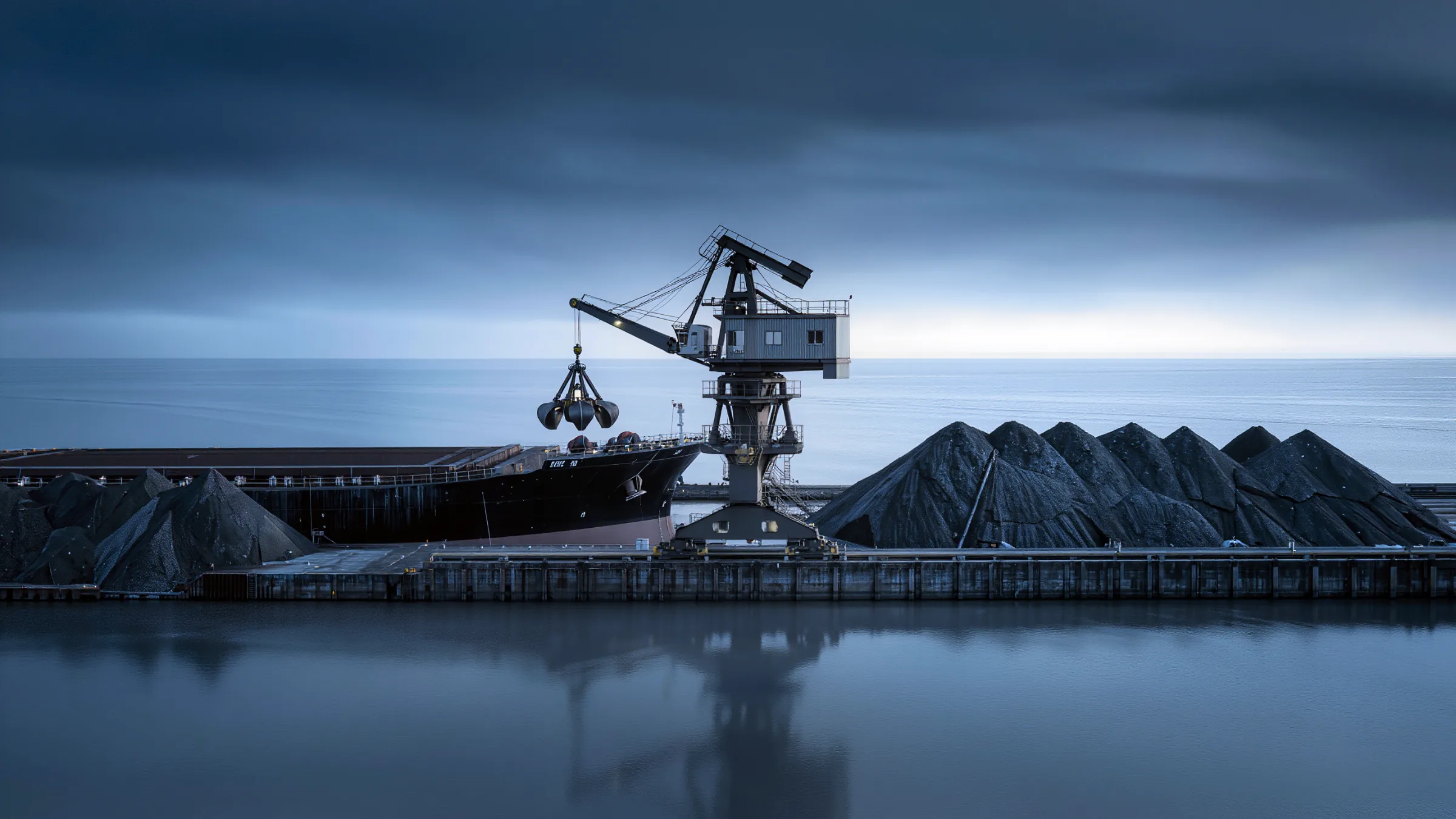
3D LiDAR for Port Automation
Quanergy 3D LiDAR provides precise, accurate and long-range sensing for port automation. Ship unloaders see the hatch, the hold and the stockpile in 3D, so grab operation can run automatically.
Source: Shandong Port case study.
Manual grab operation is slow and risky
Unloading bulk carriers by hand means an operator judges the hatch edges, the stockpile height and every grab cycle by eye, shift after shift.
Port automation is found in only about 3% of the world’s port terminals. Automating the grab needs a live, accurate picture of the ship’s hold and the material inside it.
Quanergy LiDAR gives the automation system that picture: a dense 3D point cloud of the hatch, the hold and the stockpile, updated as the grab works.
Six ways 3D LiDAR works for port automation
From the hatch edge to the stockpile, one sensing layer for automated unloading.
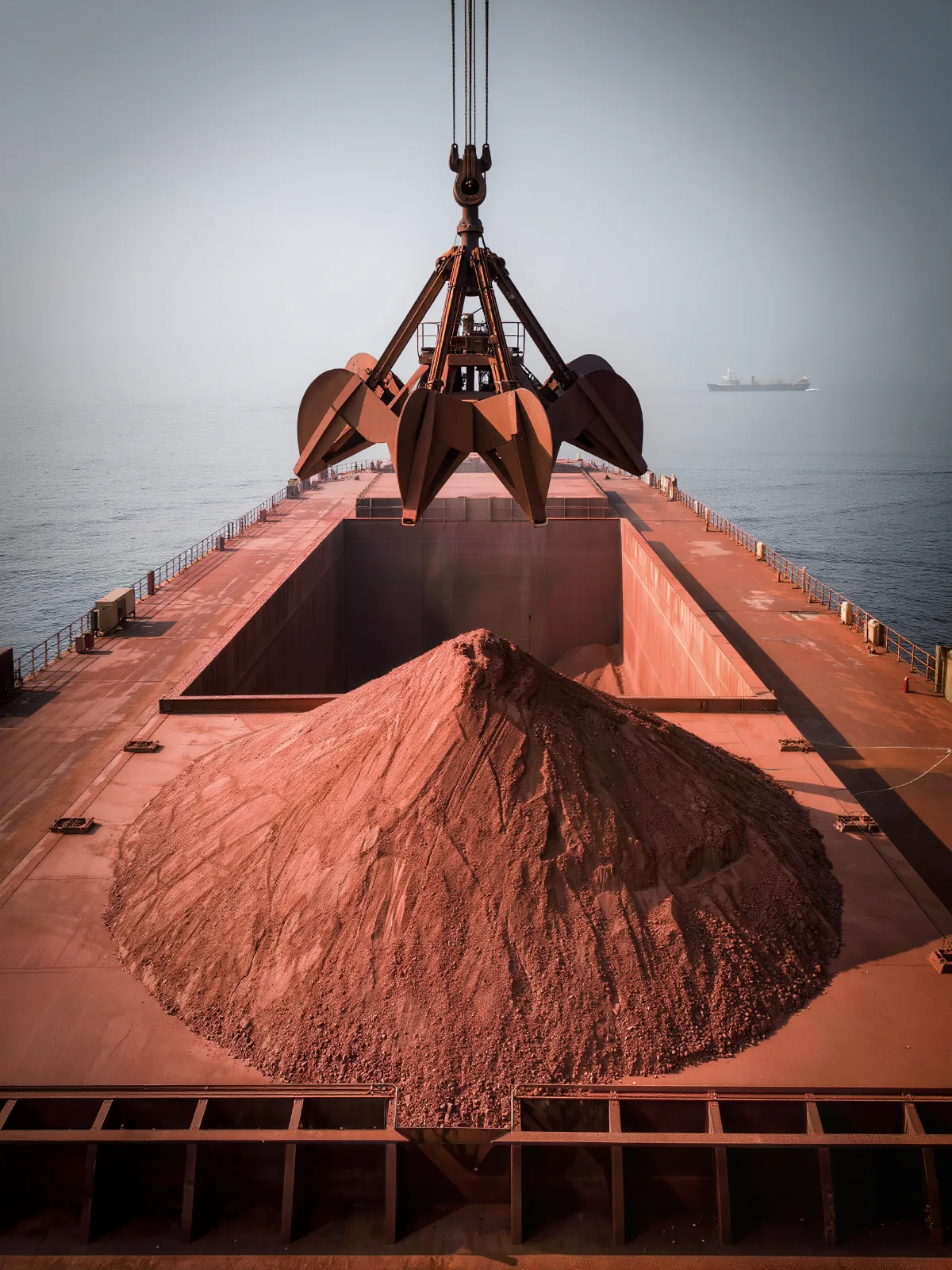
Define the safe zone from the hatch
LiDAR maps the cabin boundary so the system knows exactly where the grab can and cannot go.
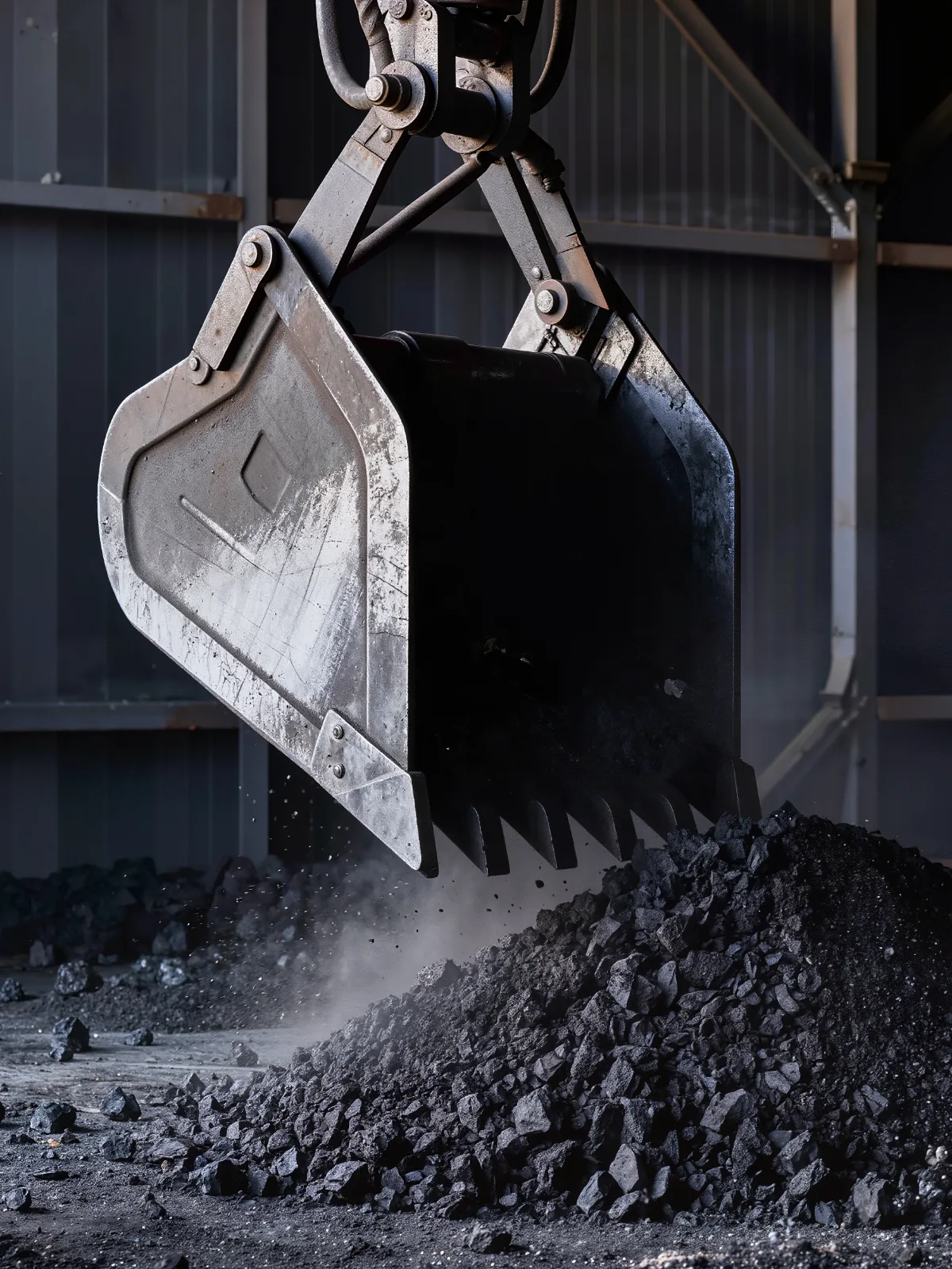
Send the grab to the right spot
The grab moves to specific stockpile coordinates instead of an operator’s estimate.
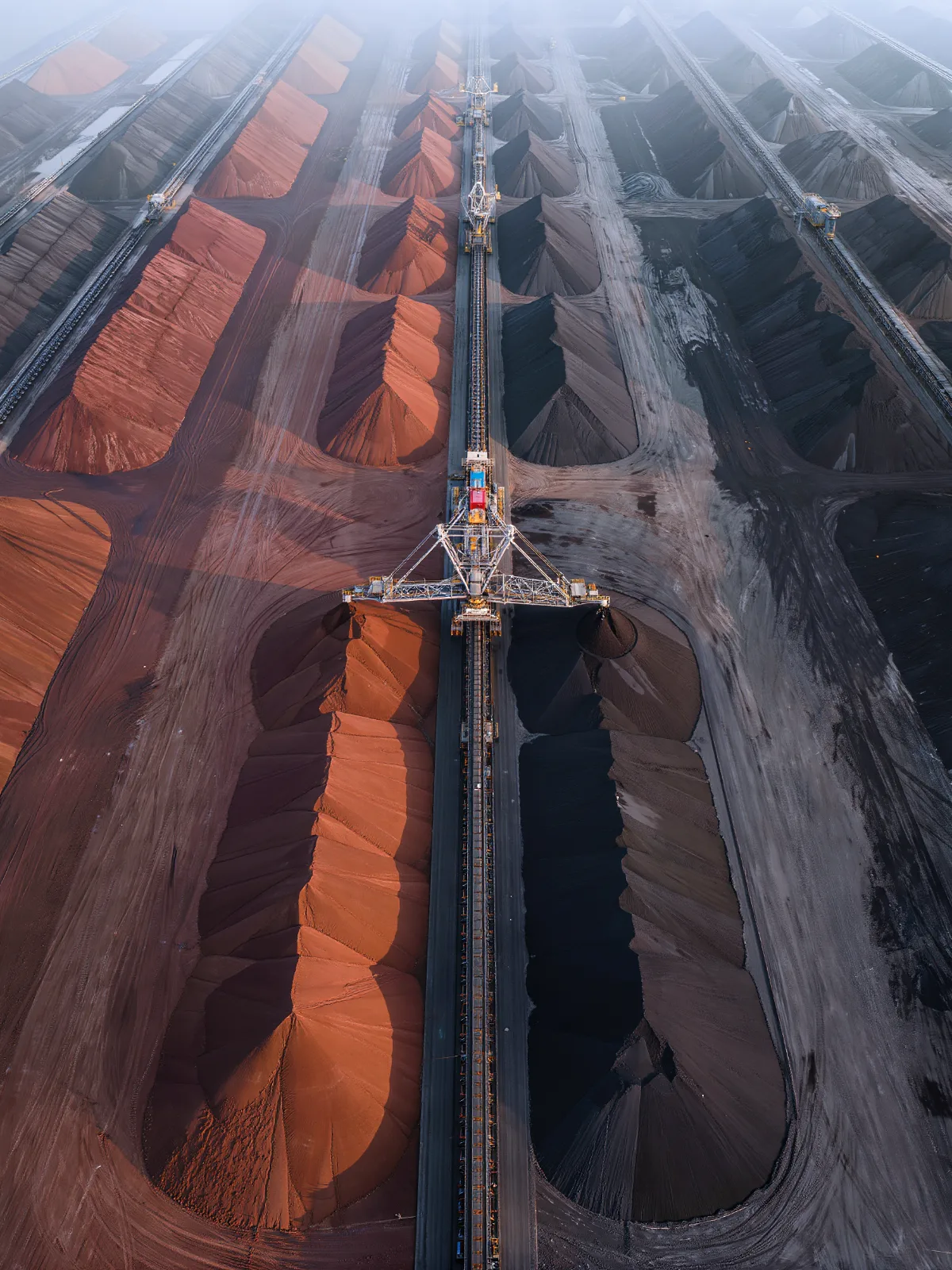
Plan rows and layers
Infer the number of operation rows and estimate grasping time per row or layer.
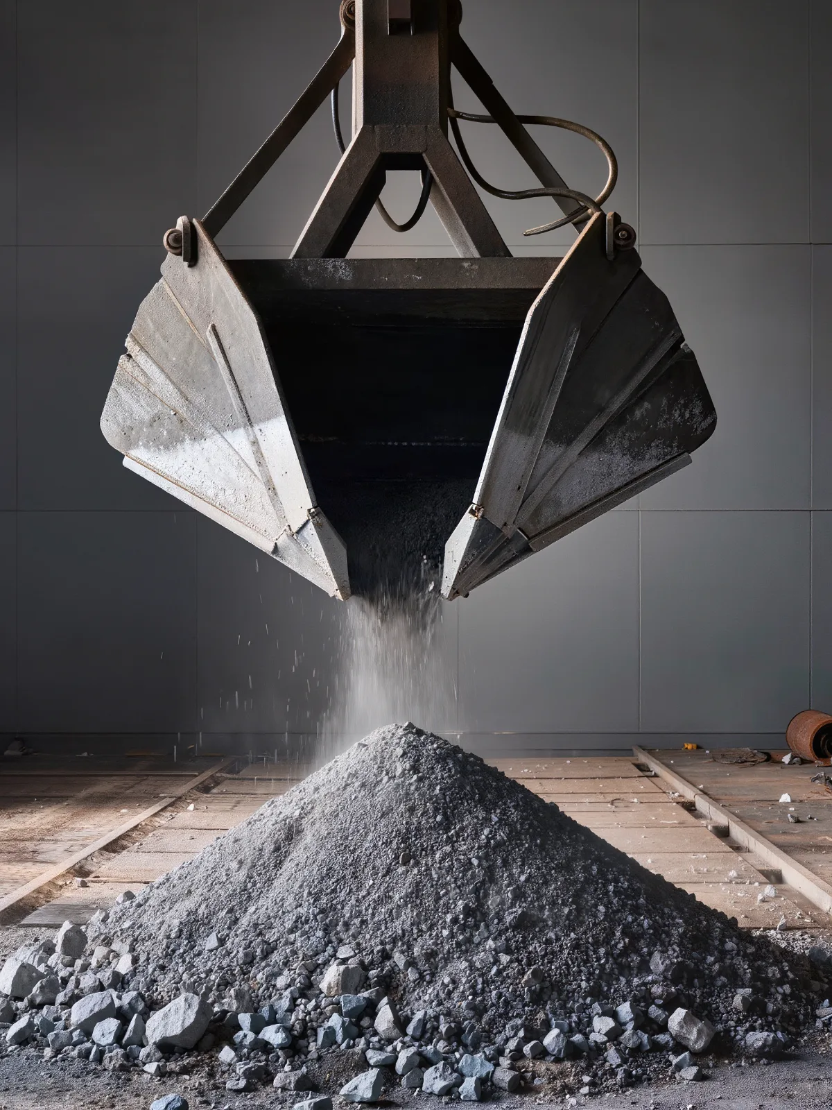
Land the grab gently
Stockpile height from the point cloud lets the grab soft-land on the material.
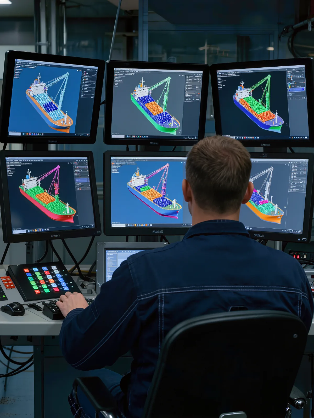
See the hold in 3D
A live 3D visual display of the operation area keeps operators informed while the system works.
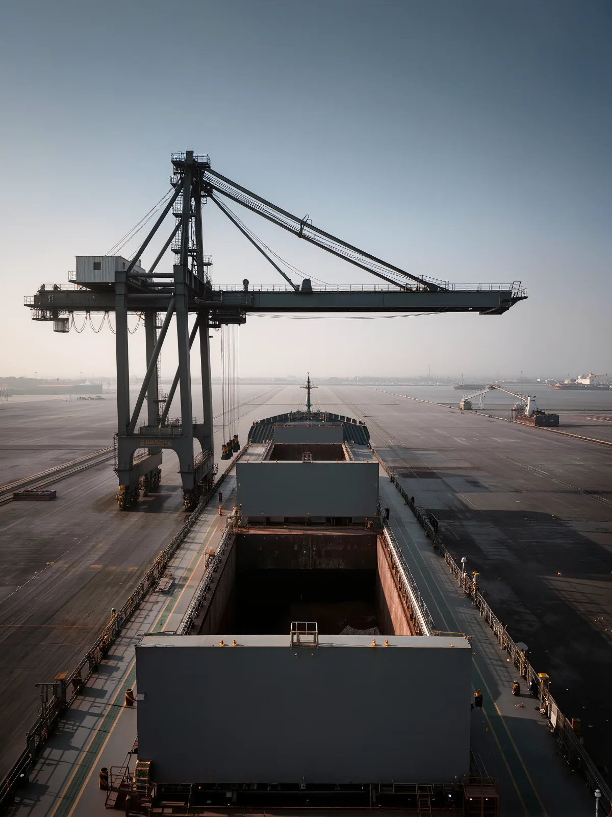
Cover more with fewer sensors
A 360° scanning range and dense point cloud cover a larger area with fewer sensors.
Scan. Map. Plan. Automate.
Quanergy LiDAR feeds the automation software with a live 3D model of the hold, so the grab can run without guesswork.
- 1
Scan
Quanergy LiDAR scans 360° around the unloader and builds a dense 3D point cloud of the ship and its cargo.
- 2
Map
The point cloud defines the hatch boundary, the hold and the stockpile surface.
- 3
Plan
Software works out rows, layers, grab coordinates and grasping time.
- 4
Automate
The grab moves, lands and lifts automatically, with a 3D display for the operator.
Built with automation partners
At Shandong Port, Shanghai Rays built the automation software and chose Quanergy as the LiDAR provider.
- 360° scanning
- Dense point cloud
- 3D object visualization
- Software integration
- Safe operation zones
- Stockpile height
- Grab coordinates
- Row and layer planning
- Operator 3D display
Full automation of a bulk terminal at Shandong Port

Shandong Port Group bulk terminal
Shandong Port Group automated grab unloading at its bulk terminal. Shanghai Rays chose Quanergy as the LiDAR provider and built the automation software on Quanergy LiDAR.
- Work-related accidents reduced by more than 90%
- Productivity up 20% compared with manual operation
- Wider 360° scanning range and 3D object visualization
Protecting the terminal perimeter, berths and gates? See 3D LiDAR for ports and maritime security.
3D LiDAR for port automation: common questions
How is 3D LiDAR used in port automation?
Quanergy LiDAR maps the ship hatch, the hold and the stockpile in 3D so automation software can define safe zones, position the grab, plan rows and layers, and soft-land the grab.
Where has Quanergy LiDAR automated a port?
At the Shandong Port Group bulk terminal, Shanghai Rays built grab automation on Quanergy LiDAR. The project reported more than 90% fewer work-related accidents and 20% higher productivity than manual operation.
What kind of LiDAR is used?
The Shandong Port project uses Quanergy 3D LiDAR with a 360° scanning range and a dense point cloud.
Why 360° LiDAR for ship unloaders?
A 360° scanning range covers a larger area with fewer sensors, and the dense point cloud supports 3D visualization of the operation area.
Does the operator still see what is happening?
Yes. The system provides a 3D visual display of the operation area, so operators can monitor every grab cycle.
Does Quanergy also secure port perimeters?
Yes. Perimeter, berth and gate security are covered on the Ports and Maritime page.
Automate the grab with 3D LiDAR
Tell us about your terminal, cranes and cargo. Our team will map where 3D LiDAR can automate unloading and keep crews out of harm’s way.