

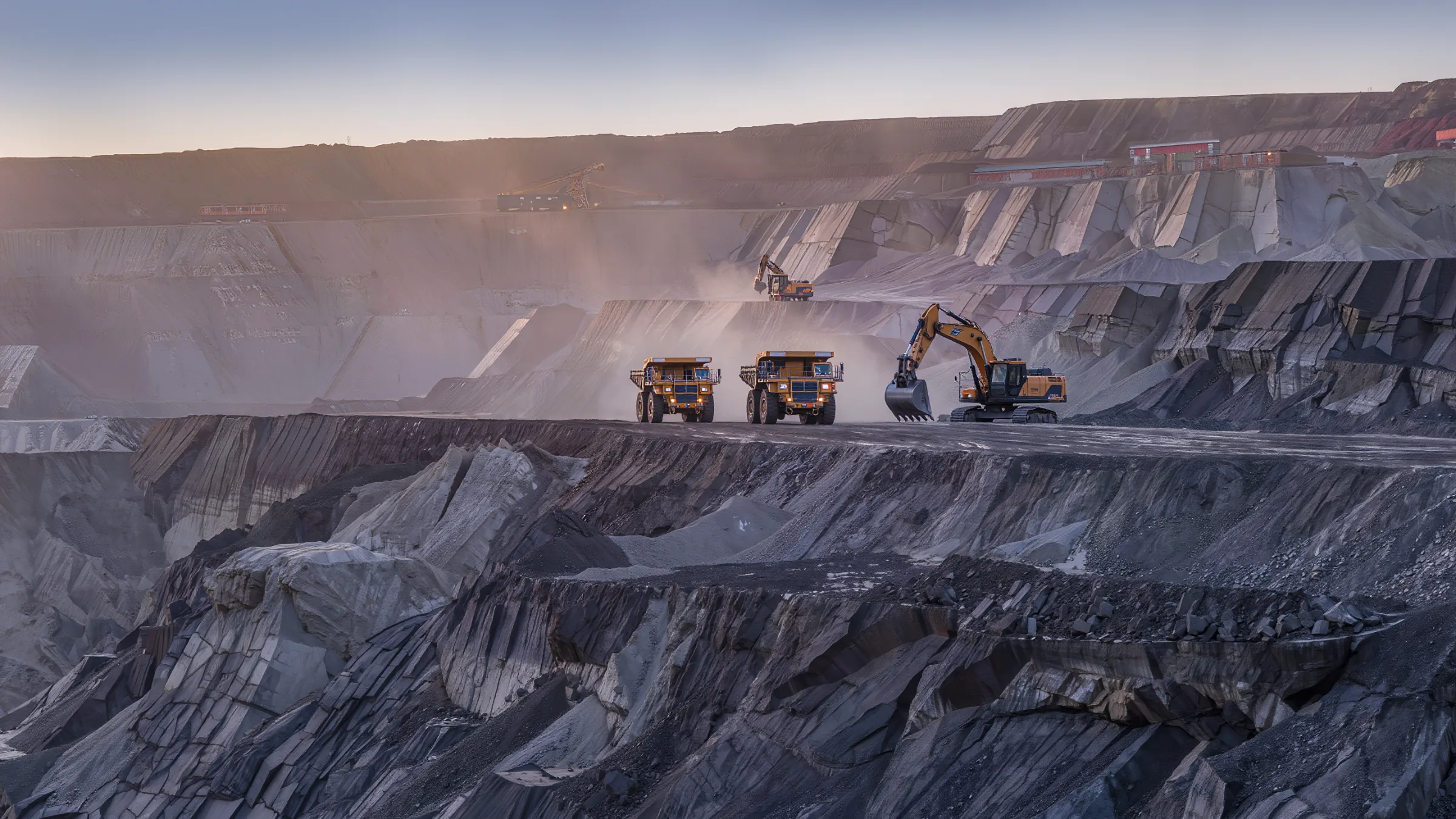
3D LiDAR for Mining and Construction
Quanergy 3D LiDAR gives large vehicles the visibility they lack, maps tunnels through dust, and measures material by volume, in the dark and dirty places where cameras fail.
Big machines, poor visibility
Large mining and construction vehicles lack visibility, which can lead to accidents. Underground work adds darkness and dust.
In 2015 the Mine Safety and Health Administration issued a rule (30 CFR §75.1732) requiring proximity detection systems on continuous mining machines in underground coal mines (MSHA).
With Quanergy 3D LiDAR and partner collision software, operators can be notified when a potential collision may occur. LiDAR adds the depth that cameras cannot provide.
Six ways 3D LiDAR works in mining and construction
Proximity awareness, mapping and measurement for heavy equipment.
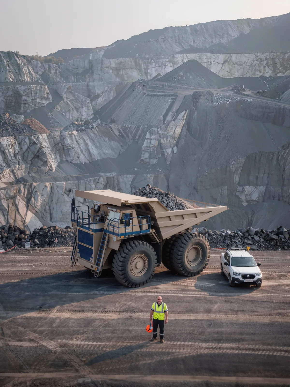
Warn the operator before contact
Detect people and vehicles around large equipment and alert the driver when a collision may occur.
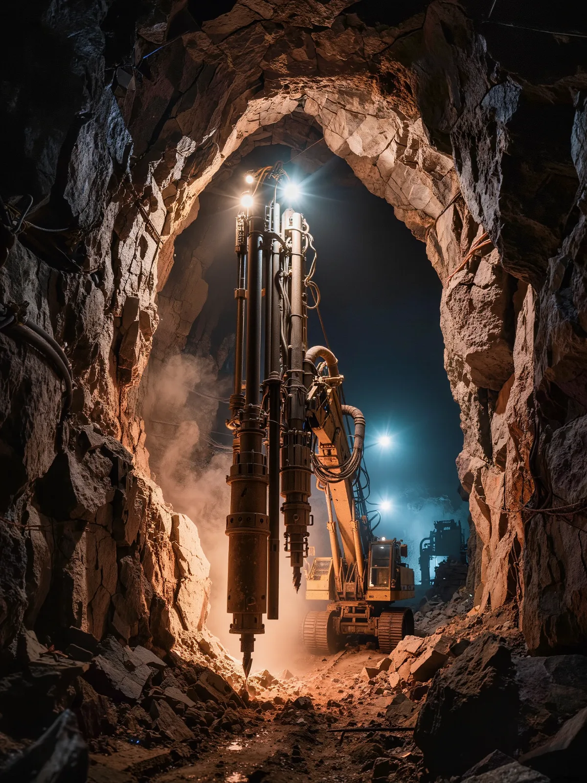
Map the tunnel through the dust
Multi-echo 3D LiDAR sees through dusty underground air to build an accurate digital map.
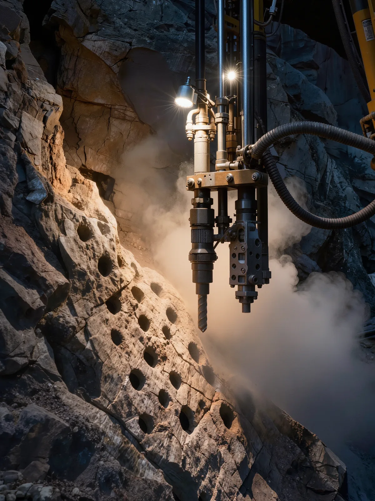
Put every hole in the right place
Algorithms use the 3D map to calculate drill locations and guide operators.
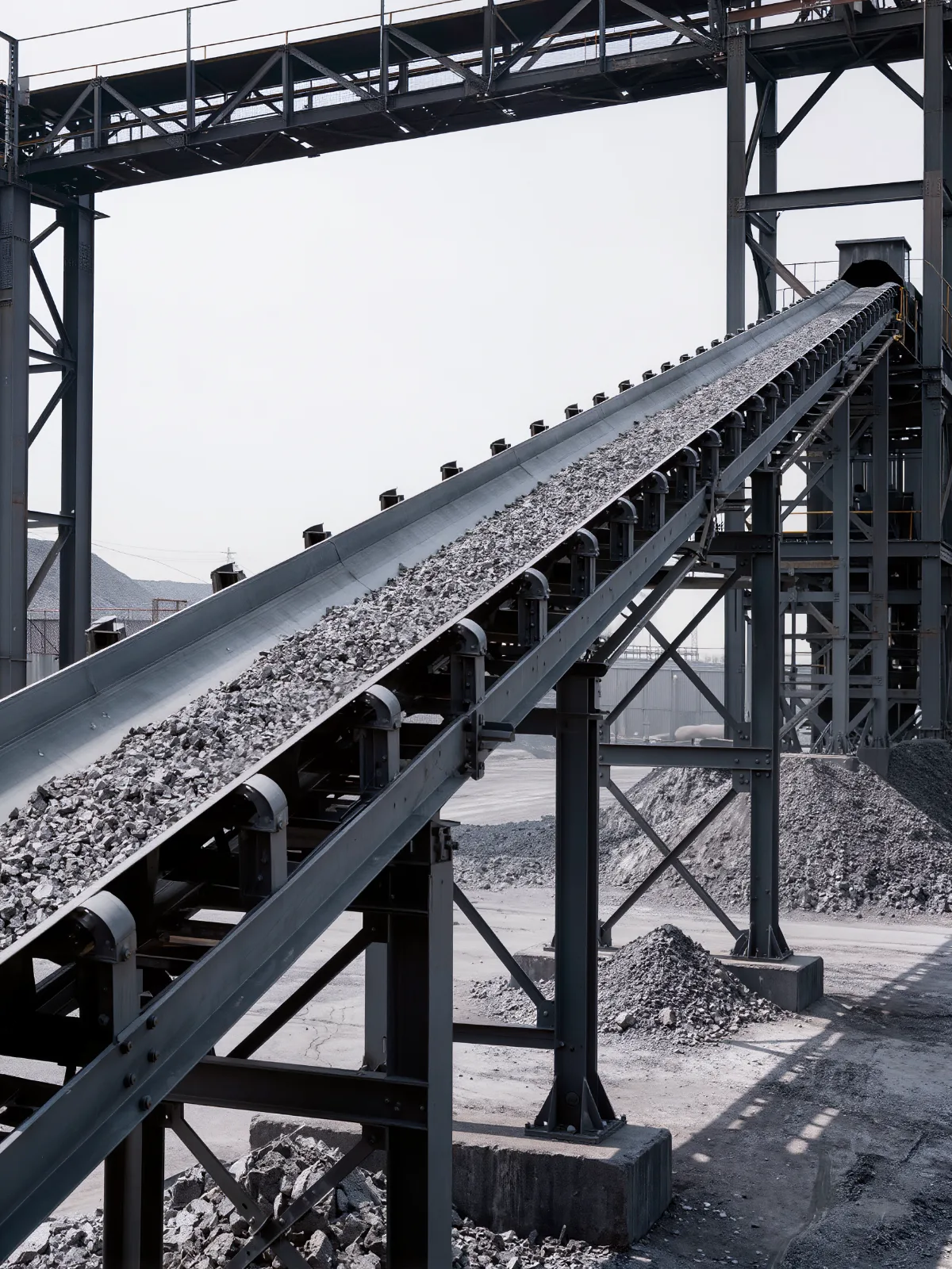
Measure output by volume
Measure the volume of material on the conveyor in real time and send it to process control.
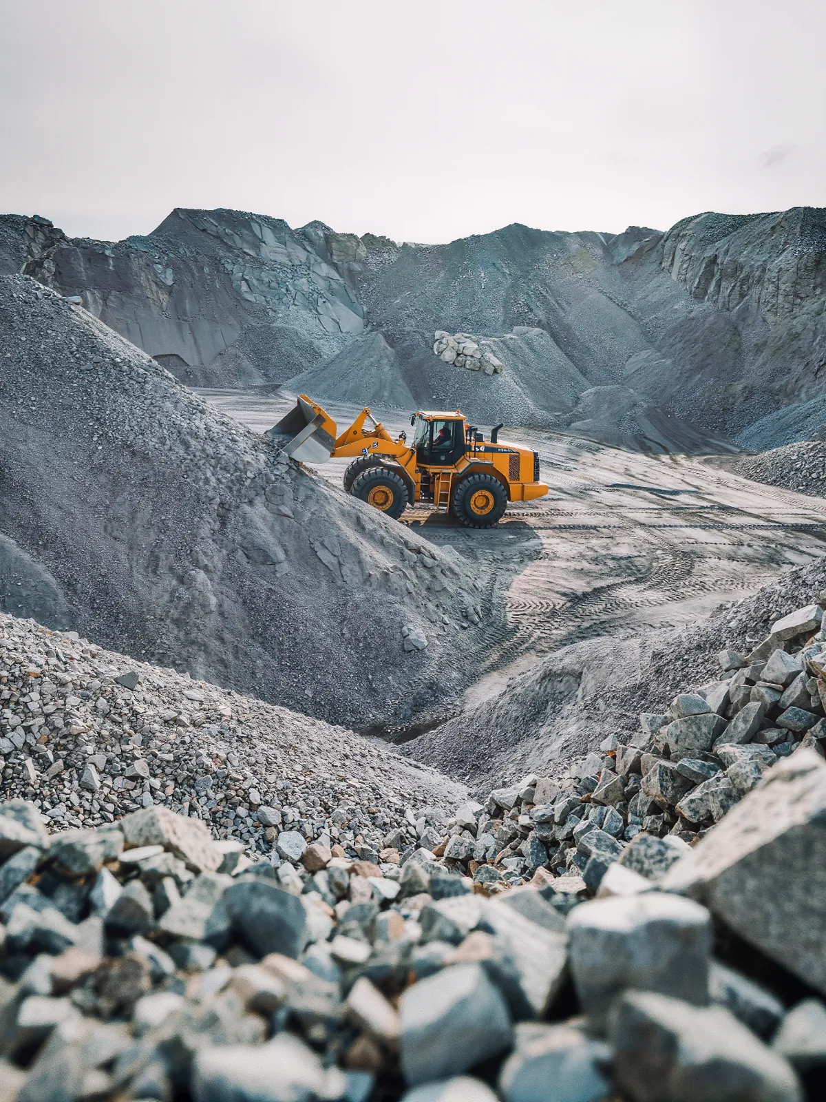
Know what is left in the yard
Model the shape of stockpiles and calculate volume, without crews walking the yard.
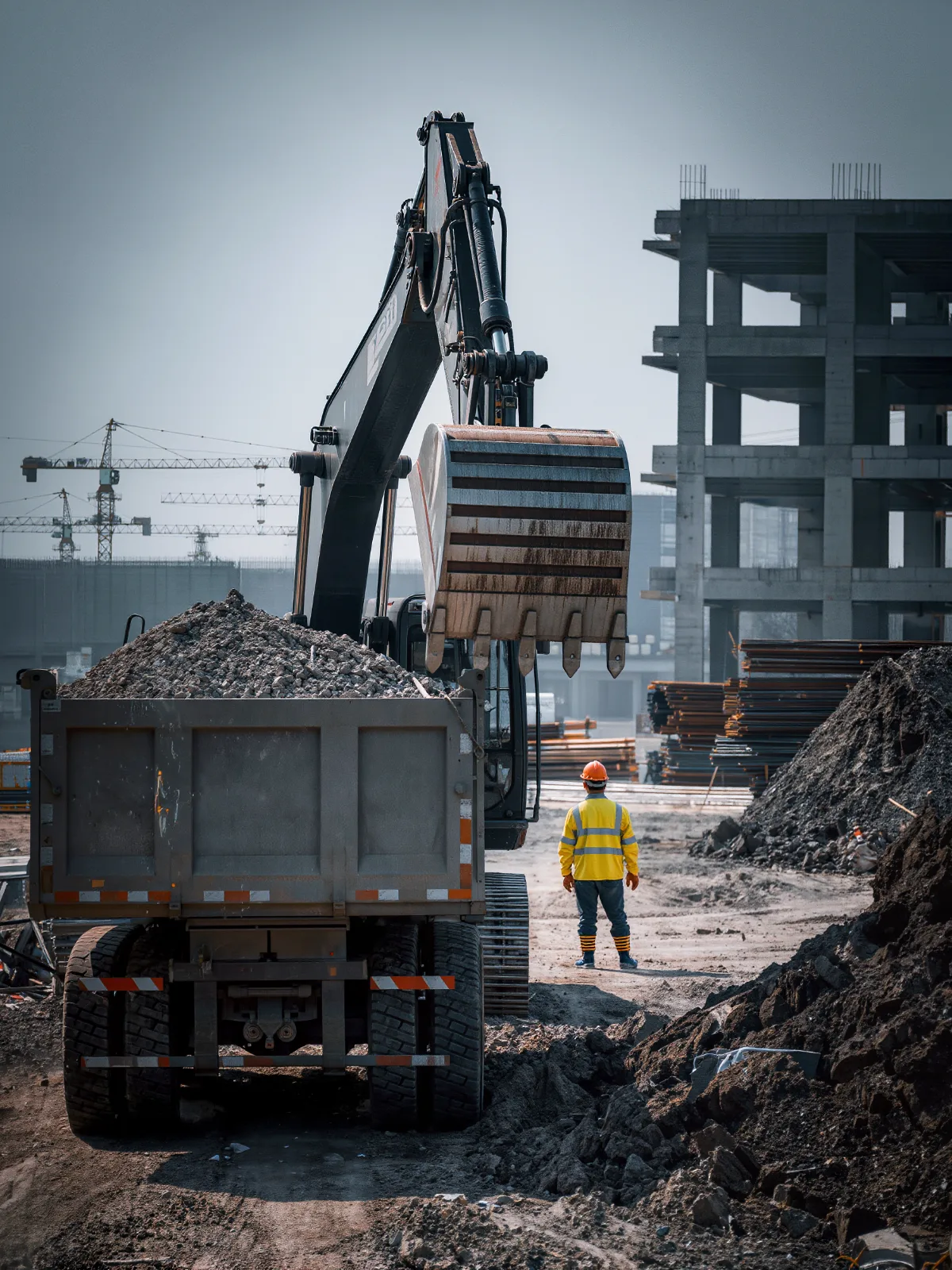
Protect crews around heavy equipment
Proximity awareness for excavators, loaders and trucks working near people.
Scan. Map. Measure. Alert.
Quanergy LiDAR builds a live 3D picture of the machine’s surroundings, the tunnel or the material, and processes it at the edge.
- 1
Scan
3D LiDAR captures a dense point cloud, with multi-echo returns that see through dust.
- 2
Map
The point cloud becomes a digital map of the tunnel, pit or site.
- 3
Measure
Software calculates distances to people and vehicles, drill positions and material volume.
- 4
Alert
Operators and control systems are alerted to potential collisions, with volume data sent to process control.
Built with equipment and software partners
Quanergy LiDAR works with partner collision and mapping software. Our engineers help connect it to your machines and control systems.
- Proximity detection
- Collision alerts
- Tunnel mapping
- Drill positioning
- Conveyor volume
- Stockpile volume
- Multi-echo returns
- Dust and darkness
- Process control integration
Underground tunnel mapping with 3D LiDAR
Underground drilling: mapping the tunnel
A major supplier of underground drilling equipment had operators guess the best drill hole locations for explosive charges, which often meant a second round of drilling and blasting. It used three Quanergy 3D LiDAR sensors with multi-echo returns to see through the dusty tunnel and build an accurate digital map. Algorithms calculate optimum drill locations and guide the operators.
- Faster drilling
- Less repeat blasting
- Accurate digital map through dust
Handling bulk material at a terminal? See how 3D LiDAR automates grab unloading.
3D LiDAR for mining and construction: common questions
How is 3D LiDAR used in mining and construction?
Quanergy 3D LiDAR adds proximity detection around large vehicles, maps underground tunnels, guides drill positioning, and measures material volume on conveyors and stockpiles.
Can LiDAR see through dust?
Yes. Multi-echo returns let 3D LiDAR see through dusty underground air to build an accurate digital map.
Does it work underground with no light?
Yes. LiDAR provides its own illumination, so it works in complete darkness.
What does MSHA require?
MSHA’s 2015 rule (30 CFR §75.1732) requires proximity detection systems on continuous mining machines in underground coal mines.
Why measure material by volume?
Mining output is measured in cubic meters, and weighing a mixed material can give large errors. LiDAR measures volume on the conveyor directly, in real time.
Does it work with our collision software?
Yes. Quanergy LiDAR works with partner collision and mapping software, and our team supports integration.
See around your heavy equipment
Tell us about your machines, sites and tunnels. Our team will map where 3D LiDAR improves safety and measurement.