

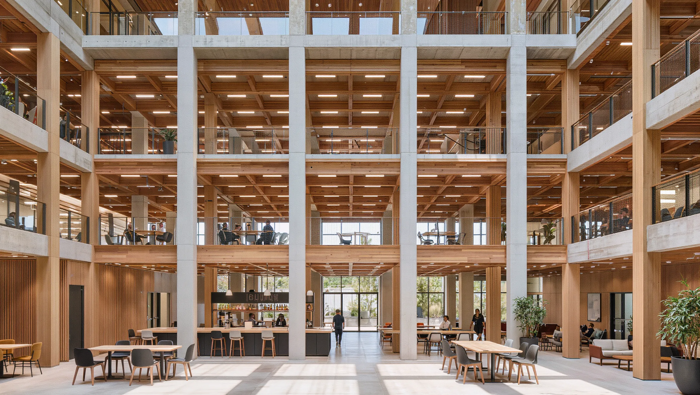
Office Occupancy and Space Utilization with 3D LiDAR
Quanergy 3D LiDAR counts and tracks every person across floors, meeting rooms and amenities, anonymously and in real time, so you can plan space, run building systems and secure the office on real data.
Badges count arrivals, not how space is used
Real estate and facilities teams need to know how floors, rooms and amenities are actually used. Badge swipes stop at the front door, room bookings do not show who showed up, and cameras raise privacy concerns in the workplace.
3D LiDAR adds the missing layer. Every person gets an anonymous track with position, direction and speed, across open floors, meeting rooms, cafeterias and entrances.
Facilities teams get occupancy and utilization data for every zone. Building systems can respond to real occupancy, and security gets after-hours alerts in the VMS.
Six ways 3D LiDAR works for office buildings
One sensing layer for real estate, facilities and security.
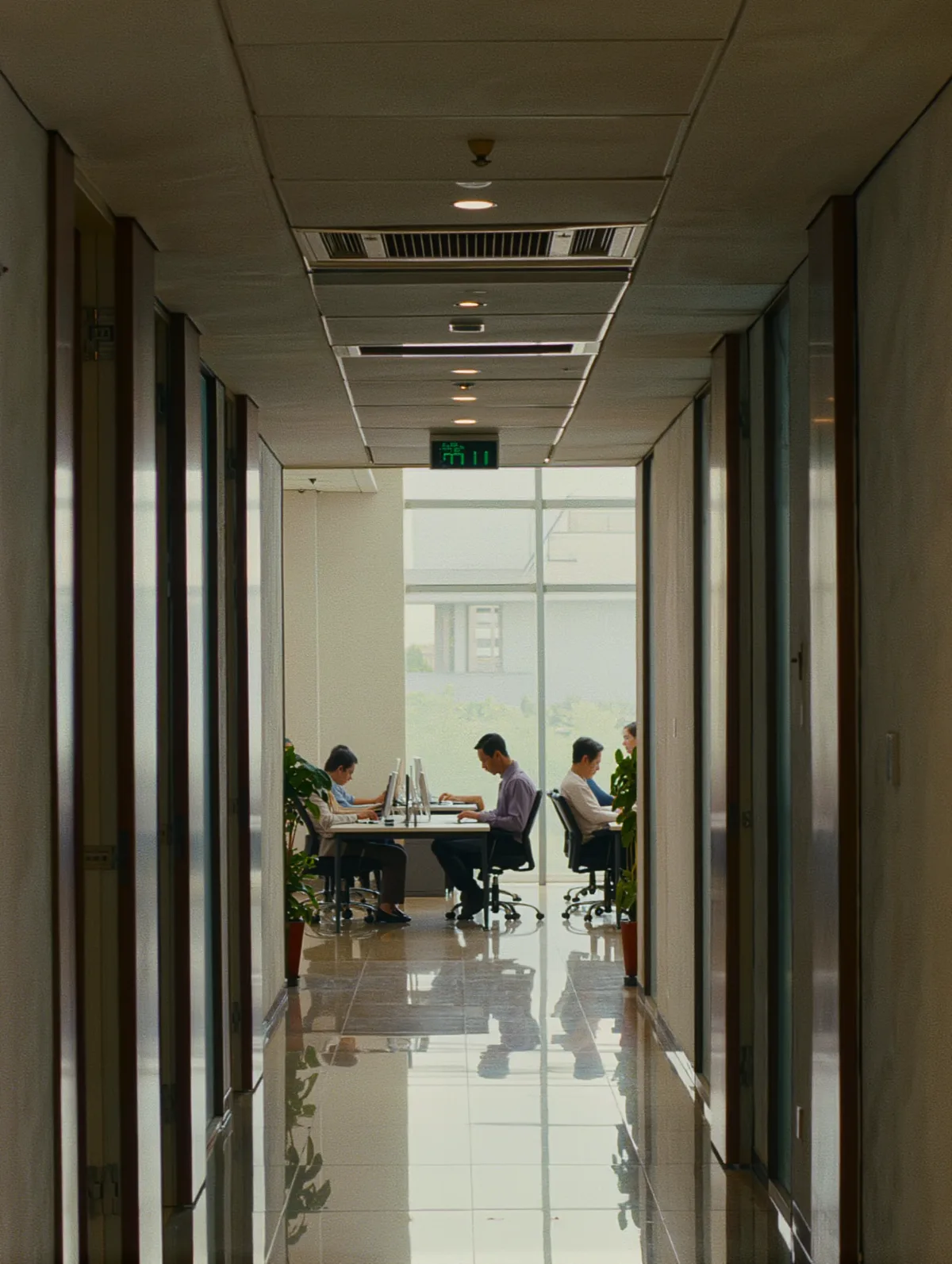
See how every floor is really used
Occupancy, dwell time and heat maps by zone show which areas work and which sit empty.

Know which rooms are actually used
Live room occupancy shows which rooms sit empty and which are always full, with no cameras in the room.

Plan amenities around real traffic
Counts, queues and peak times help size food service, staffing and shared spaces.
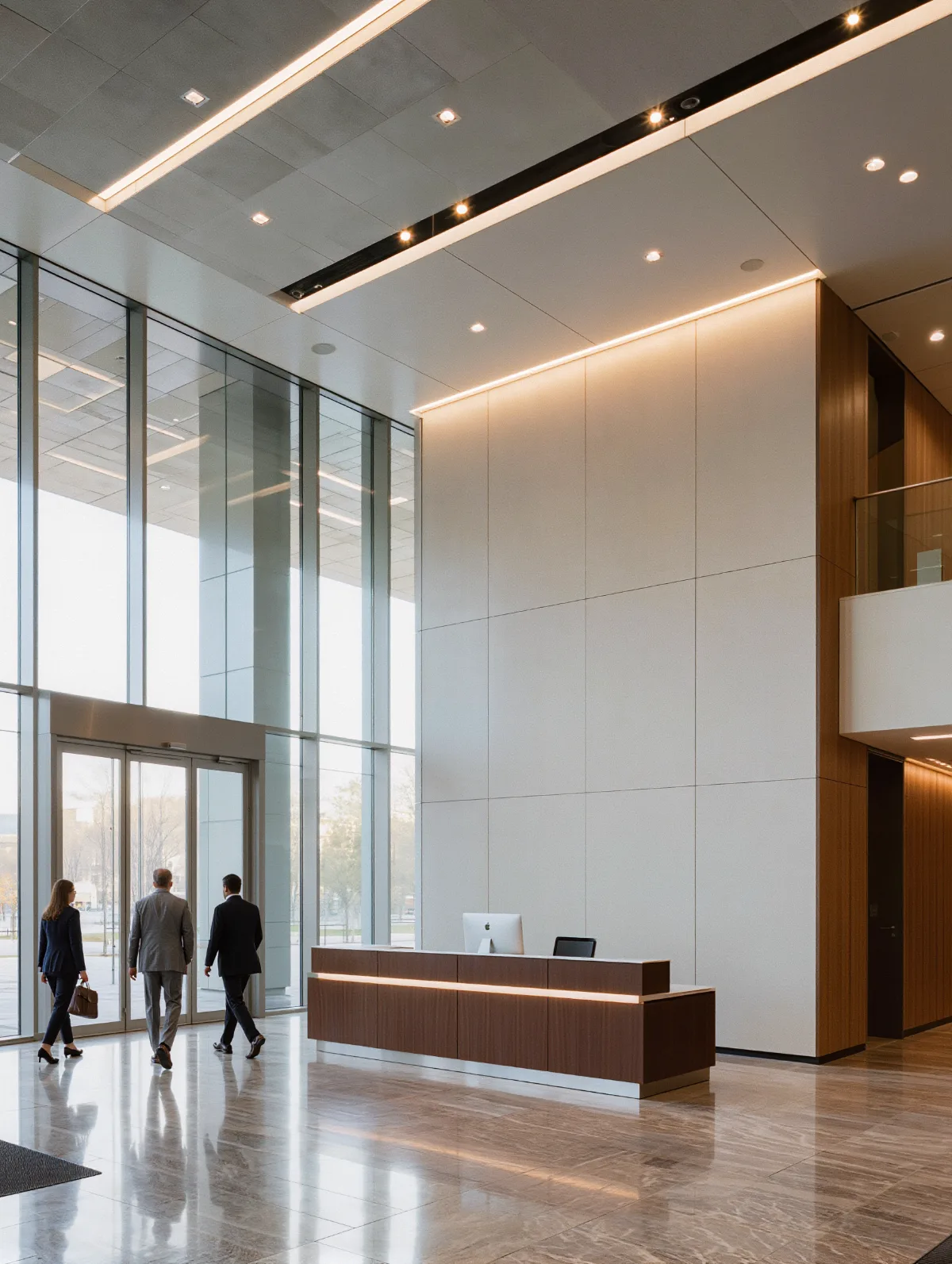
Count everyone in and out
Live building and floor occupancy from entrance flows, compared against past periods.
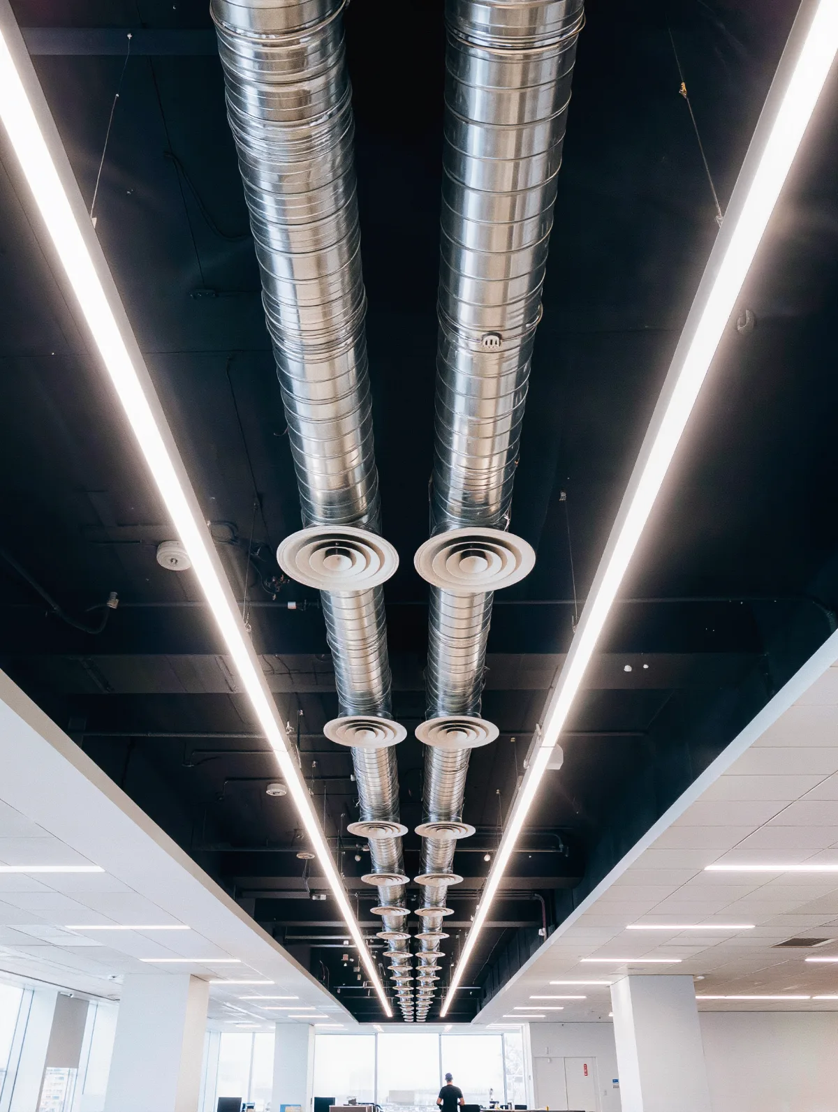
Run HVAC and energy on real occupancy
Q-INSIGHTS turns real-time occupancy into energy, HVAC and staffing adjustments.
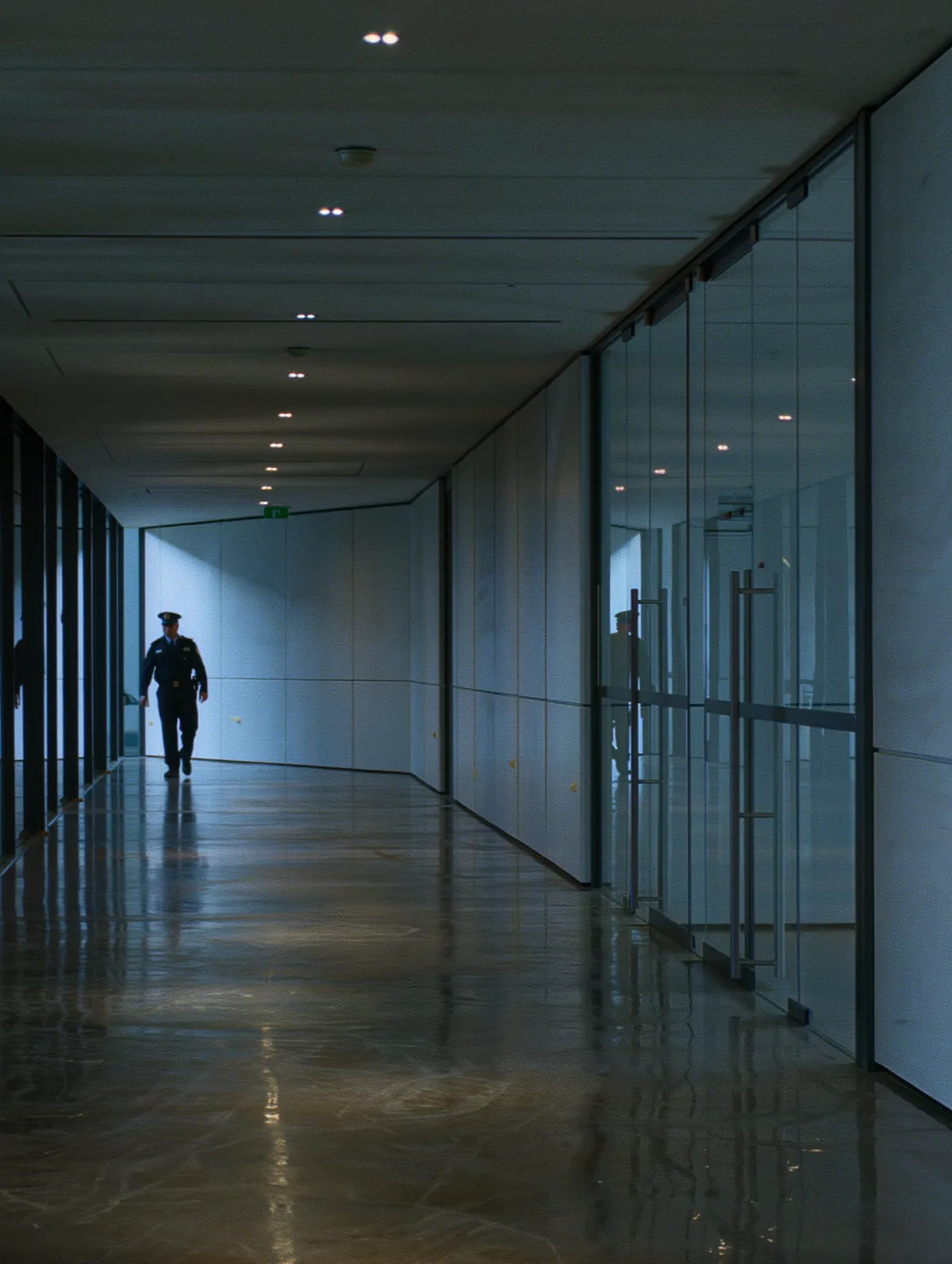
Detect people where they should not be
After hours, 3D zones on restricted floors and corridors send real-time alerts to your VMS.
Detect. Track. Analyze. Act.
Quanergy 3D LiDAR measures millions of 3D points per second. Q-TRACK turns them into anonymous tracks, and Q-INSIGHTS turns the tracks into occupancy and utilization intelligence.
- 1
Detect
360° 3D LiDAR covers open floors and large rooms with minimal blind spots, in any light.
- 2
Track
Q-TRACK follows every person with centimeter-level position, and keeps tracking through tables, columns and pillars.
- 3
Analyze
Q-INSIGHTS turns tracks into live occupancy, dwell time, heat maps and hourly, daily and monthly KPIs.
- 4
Act
Feed occupancy to building systems for energy, HVAC and staffing, and send after-hours alerts to your VMS.
Occupancy intelligence with Q-INSIGHTS
Q-INSIGHTS is Quanergy’s cloud analytics platform. It turns anonymous 3D tracks into dashboards for real estate, facilities and operations teams.
- Live zone occupancy
- People counts in and out
- Dwell time
- Heat maps
- Queue and peak-time analytics
- Hourly, daily and monthly KPIs
- Historical benchmarking
- Anomaly detection
- Map- and zone-based dashboards
Deployed in corporate campuses and offices
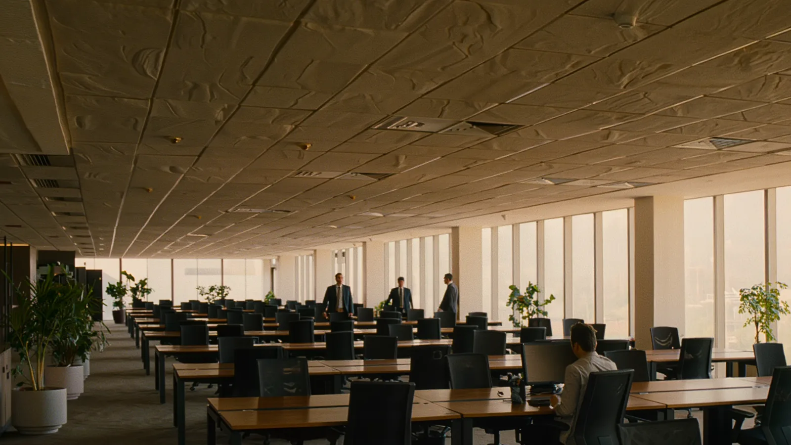
A leading social media company’s campuses
A prominent social media company deployed Quanergy’s smart spaces solution across campuses with many conference rooms, cafeterias and general-purpose areas, to improve space utilization. Q-TRACK keeps tracking people through occlusions such as tables, chairs, cabinets, columns and pillars, and delivers occupancy insights without capturing personally identifiable information.
- Conference rooms, cafeterias and shared areas
- Tracking through furniture, columns and pillars
- No personally identifiable information
AllianceBernstein, New York offices
In AllianceBernstein’s New York offices, three Quanergy 3D LiDAR sensors track people anonymously along a corridor nearly a city block long. Each person’s passage triggers generative art on the Dreamwall, designed and implemented by Gensler.
- Anonymous tracking with zero PII
- 2025 NYCxDesign Awards Honoree, Medium Commercial Office
Office occupancy with 3D LiDAR: common questions
How is 3D LiDAR used in office buildings?
Quanergy 3D LiDAR tracks people anonymously across floors, meeting rooms, cafeterias and entrances. Facilities and real estate teams use the data for occupancy, space utilization and building systems, and security uses it for after-hours alerts.
Does LiDAR capture images or identify employees?
No. Quanergy 3D LiDAR captures 3D points, not images or faces, so employees are counted and tracked anonymously and no personally identifiable information is collected.
Can LiDAR track people around desks, columns and furniture?
Yes. Q-TRACK uses object stitching to keep tracking a person who is briefly hidden by tables, chairs, cabinets, columns or pillars, so counts stay accurate in furnished spaces.
Can occupancy data drive HVAC and energy systems?
Yes. Q-INSIGHTS turns real-time occupancy and flow into energy, HVAC and staffing adjustments, and keeps hourly, daily and monthly history for planning.
Can it measure how meeting rooms are used?
Yes. LiDAR reports live occupancy and people counts for each room, so teams can see which rooms sit empty and which are always full.
Does it work with our security systems?
Yes. Q-TRACK integrates with leading VMS and security platforms and works with 80+ technology partners, so after-hours alerts reach the tools your team already uses.
See how your space is really used
Tell us about your buildings, floors and goals. Our team will map where 3D LiDAR gives you occupancy, utilization and security coverage.