

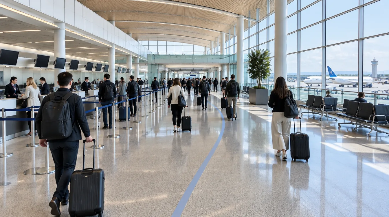
Quanergy 3D LiDAR Improves Passenger Flow Management
Airport and aviation facilities contend with numerous operations challenges that impact both the passenger experience and the bottom line. Imagine what you could achieve with a solution that enhances both without compromise: enhancing the passenger journey from the curb to the gate, while dramatically improving operations management, personnel resources and capacity utilization with tangible ROI (return on investment) and lower TCO (total cost of ownership).
Source: YVR case study.
Why Quanergy 3D LiDAR Works So Well in Airport Terminals
By combining specialized 3D LiDAR sensors designed specifically for indoor applications with advanced perception software, Quanergy provides the unprecedented ability to autonomously detect events, classify and continuously track thousands of unique people and vehicles with extreme accuracy even when obscured by obstacles and in total darkness.
From the curb to the gate
The accuracy of Quanergy 3D LiDAR sensors to deliver insightful intelligence for airport terminal operations is ideal for a wide range of applications.
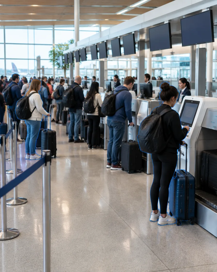
Staff the counters to the line
Personnel utilization at check-in areas, plus baggage drop-off and handling.
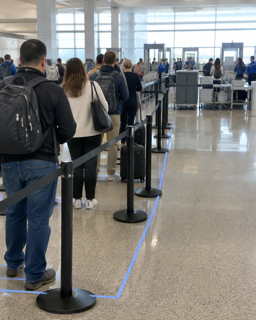
Know the wait before it builds
Time spent passing through security checkpoints, measured continuously.

Plan boarding with live counts
Real-time gate queue management and planning.
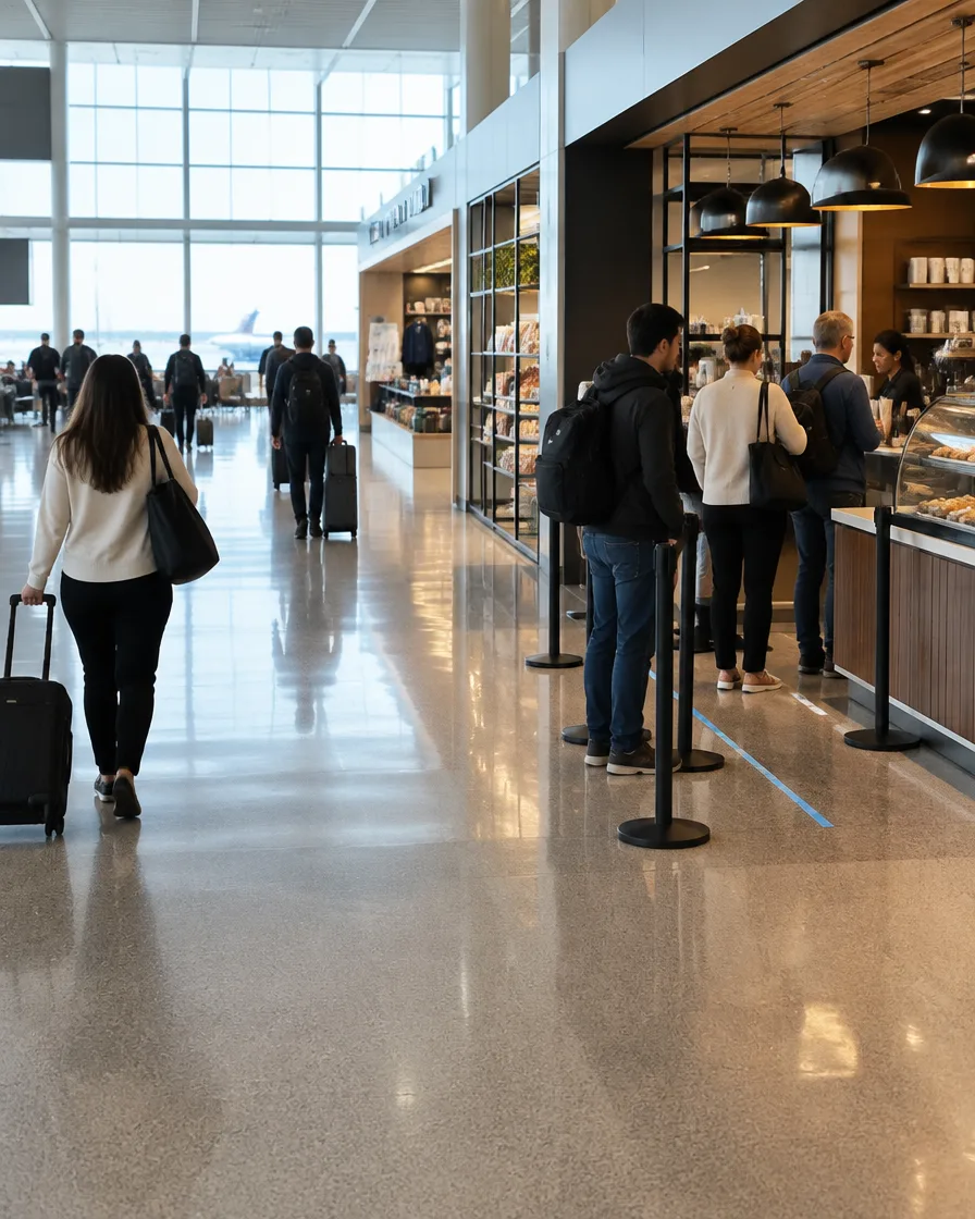
Put passengers in front of stores
Retail merchandising and planning, and wait times on service and vendor lines.
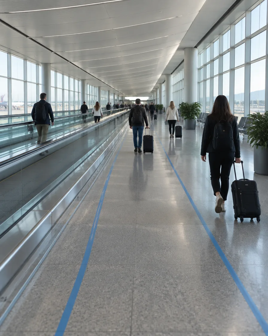
See every path through the terminal
Generate real-time passenger journey maps and time per passenger and per group.
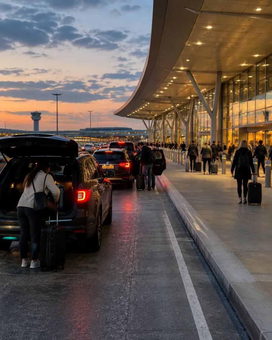
Run the building on real demand
Real-time resource management (HVAC, lighting, people movers) based on occupancy.
All airport applications
- Improve passenger happiness
- Personnel utilization at check-in areas
- Baggage drop-off and handling
- Time spent passing through security checkpoints
- Real-time gate queue management and planning
- Retail merchandising and planning
- Wait times on service and vendor lines
- People occupancy counting
- Restroom and resources usage and maintenance
- Time per passenger and per group movements throughout terminals
- Data-driven passenger forecasting
- Generate real-time passenger journey maps
- Real-time resource management (HVAC, lighting people movers…) based on occupancy
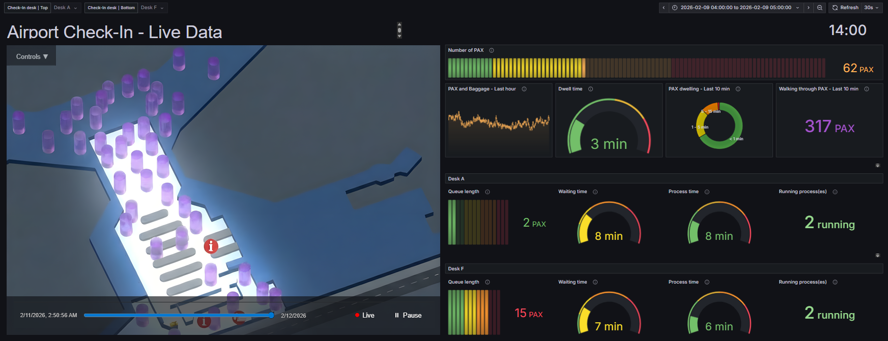
Live, historical and predictive views of terminal traffic
Q-TRACK detects and tracks every passenger in 3D. Q-INSIGHTS turns that data into queue lengths, wait times, throughput, occupancy and journey analytics for operations, security, retail and planning teams.
Detect. Track. Classify. Alert.
Quanergy 3D LiDAR measures millions of 3D points per second. QORTEX DTC perception software detects, tracks and classifies every object, then sends alerts your existing security stack can act on.
- 1
Detect
360° 3D LiDAR covers wide areas with minimal blind spots, in any light or weather, including total darkness.
- 2
Track
QORTEX DTC follows every object with centimeter-level position, speed and direction, tracking up to 1,000 objects at once.
- 3
Classify
People and vehicles are classified by size and movement. Anything else is reported as an unclassified object, so alarms can be set on people and vehicles only.
- 4
Alert
Configurable 3D zones trigger real-time alerts and PTZ slew-to-cue, sent to your VMS and security operations center.
Fits the security stack you already run
Q-TRACK integrates with leading video management and security management platforms, so you upgrade detection without replacing your control room.
- Advancis
- Bosch/IQSIGHT BVMS
- exacqVision
- Genetec Security Center
- Hirsch Velocity
- IntelliCene / Symphia Control
- Milestone XProtect
- Motorola Avigilon Unity
- Network Optix
- Salient CompleteView
- Teledyne FLIR
Q-TRACK supports many more VMS and security platforms not listed here; confirm the integration for your platform and version during the assessment.
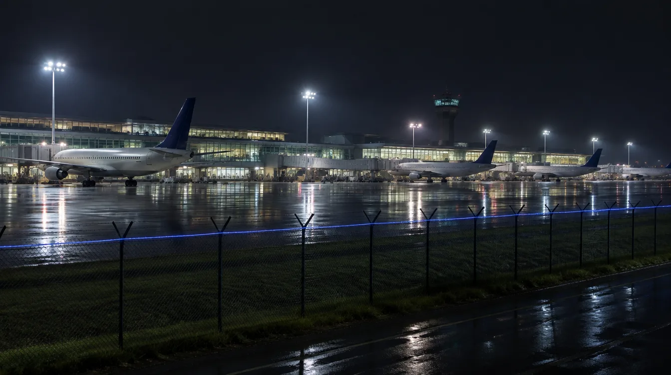
Perimeter and airside security
For wide area airport surveillance and security applications, Quanergy 3D LiDAR long range sensors provide 360° coverage with a range of 15,000 square meters per sensor. These powerful sensors are ideal for Perimeter Intrusion Detection (PID) and wide area surveillance of all tarmac and runway activities even under the harshest environmental conditions, including total darkness. This effectively reduces hardware, software, cabling, networking and installation requirements typically required for such wide scale applications, significantly lowering the cost of deployment per sq/ft and overall TCO for large systems.
Quanergy 3D LiDAR Sensor Performance/Feature Benefits for Airports
- Generates a 3D point cloud providing spatial location and depth information to identify, classify and track moving objects in real time with extreme accuracy.
- Each sensor provides 360° coverage with a range of 15,000 square meters, effectively reducing hardware, software, cabling, networking and installation costs
- Defines event speed and direction across the entire system’s coverage area employing mesh network technology
- Tracks people/vehicles continuously even when they move behind an obstruction such as a jetliner, cargo bin or any type of fixed asset
- Tracks up to 1000+ individuals/vehicles simultaneously per sensor
- Performs under virtually any environmental condition 24/7, including total darkness
- Field proven to reduce costly false alarms by up to 95%.
- Time-of-flight (ToF) sensing technology that emits low power, eye-safe lasers
- Delivers tangible ROI and lowers long-term TCO related to equipment and labor costs
Quanergy 3D LiDAR Protects Passenger Privacy
Quanergy 3D LiDAR solutions are not subject to the same privacy concerns as 2D video and facial recognition devices. No facial images are ever captured by Quanergy sensors, maintaining compliance for highly regulated applications and in public spaces.
Vancouver International Airport Deploys Quanergy 3D LiDAR Solution
Vancouver International Airport (YVR) selected Quanergy Solutions to analyze footfall.
Using our 3D LiDAR sensors and advanced perception software, Q-TRACK, YVR can now accurately identify, classify, and track people/objects for enhanced operational insights. YVR currently uses these insights to address various operational and business priorities, including streamlining check-in processes and enhancing security clearance efficiency. By improving data flow and leveraging business intelligence, YVR has improved the traveler’s journey, leading to greater customer satisfaction and safety.
“Through the implementation of Quanergy’s solutions, we have harnessed the power of real-time insights, gaining a deep understanding of passenger volumes and the associated wait times at different stages of their journey through the terminal.”Jason Williams, Manager, Innovation & Technology Group, YVR
Resources
The accurate performance, versatility and cost-efficiency of 3D LiDAR solutions are already helping airports around the globe transform often reactive systems into proactive 3D solutions that see beyond the limitations of conventional 2D imaging.
Airport passenger flow with 3D LiDAR: common questions
How does 3D LiDAR improve airport passenger flow?
Quanergy 3D LiDAR detects, classifies and continuously tracks people across check-in, security, gates and concourses. Q-INSIGHTS turns that data into live queue lengths, wait times, throughput and occupancy, so operations teams can staff and plan to real demand.
Which airports use Quanergy LiDAR?
Vancouver International Airport (YVR) uses Quanergy 3D LiDAR and Q-TRACK in domestic check-in and security screening to understand passenger volumes and wait times and to trigger real-time alerts when thresholds are reached.
Does LiDAR capture faces or personal data?
No. Quanergy 3D LiDAR captures spatial geometry, not identity. No facial images are ever captured, and no personally identifiable information is collected.
How many people can one sensor track?
Each sensor tracks up to 1,000+ individuals and vehicles simultaneously, with 360 degree coverage of up to 15,000 square meters.
Does it work in crowded or dark areas?
Yes. Tracking continues when people move behind obstructions, and LiDAR performs 24/7 under virtually any lighting condition, including total darkness.
What is the difference between Q-TRACK and Q-INSIGHTS?
Q-TRACK is the detection and tracking layer that turns 3D LiDAR data into tracked people and vehicles. Q-INSIGHTS is the analytics platform that turns those tracks into queue, wait time, occupancy and journey insights.
Let’s get the conversation started!
Tell us about your terminals, checkpoints and gates. Our team will map where 3D LiDAR delivers the insight you need.